Login

Forgotten password?

Cookies have to be accepted!
Your browser's cookie functionality is disabled. Please enable this functionality.

Not a member yet?

Register now
Login

Available for registred users only

Log in to use this feature.

Forgotten password?

Cookies have to be accepted!
Your browser's cookie functionality is disabled. Please enable this functionality.

Not a member yet?

Register now
Filter
Categories
Advanced filters
  • Distance (km)
  • Height
Save filters Reset filter

TrackRank

QRCode

Technical data

Distance60,9 km Height275 m Way down284 m Duration04:30 h:m Date22.03.2009
Scores Author Landscape Fun factor Fitness Technique

Statistics

829 Views 2 Scores 101 Downloads 4.00 Average
Rate
  • Track data sheet
  • Directions
  • Downloads

Sehr schöne Tour,
-durch die Bauernschaft Speckhorn, Börste und ein Stück den Haardgrenzweg entlang,
-durch die Haard nach Ahsen am Hullerner Stausee und am Halterner Stausee entlang
-mitten durch Haltern am See, dann über "Klein" Herne und Mutter-Vogel richtung Marl
-von hieraus geht es zum Flugplats Loemühle und dann wieder richtung Wassertürme.

Ich wünsche viel Spass

KlausD

Mehr auf meiner Seite www.GPX-Touren.de.
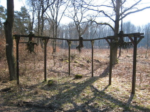
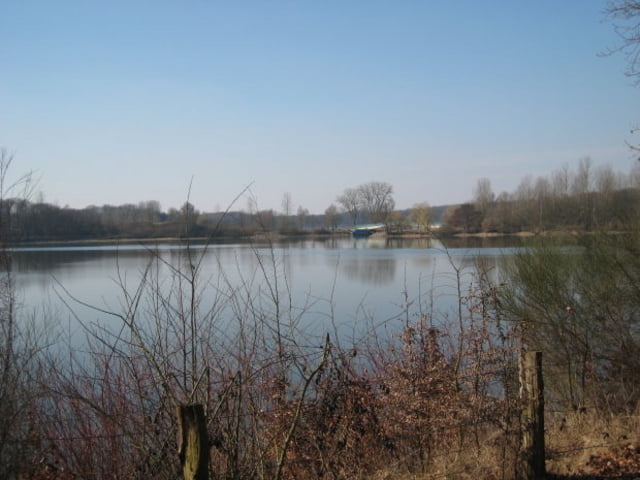
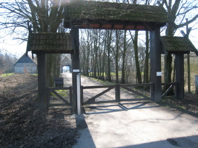
Tour gallery

Tour map and elevation profile

  • Open Street Map
  • Google
Minimum height 30 m Maximum height 116 m Detailed view

More about the tour author

KlausD
Member since 2008

Send private message

Comments

GPS tracks

Trackpoints
  • GPX / Garmin Map Source (gpx) download
  • TCX / Garmin Training Center® (tcx) download
  • CRS / Garmin Training Center® (crs) download
  • Google Earth (kml) download
  • G7ToWin (g7t) download
  • TTQV (trk) download
  • Overlay (ovl) download
  • Fugawi (txt) download
  • Kompass (DAV) Track (tk) download
  • Track data sheet (pdf) download
  • Original file of the author (gpx) download

More about the tour author

KlausD
Member since 2008

Send private message
Share track
Add to my favorites
Remove from my favorites
Edit tags
My score
Rate
Track: Herten-Ahsen-Haltern-Marl-Herten
Type: Trekkingbike
Distance: 60,9 km
Evaluated on:
Duration:
Day(s)
Hour(s)
Minute(s)
Score: Landscape Fun factor Fitness Technique