


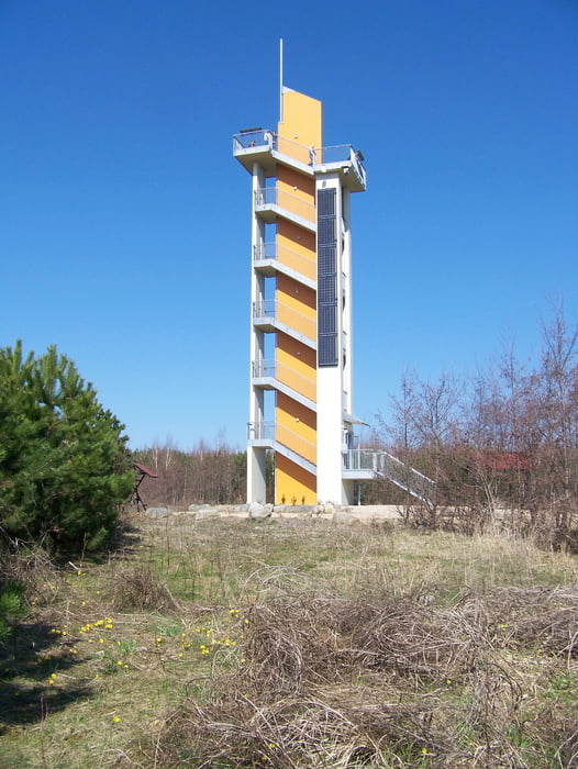
Vom Bahnhof durch Tauchritz. Vorbei am alten Schloss und dem Yachthafen. Durchs alte Betriebsgelände der Braunkohlengrube zum Aussichtsturm über die Kirschalle zur Dorfgaststätte mittag machen.
Über die Landeskrone zurück nach Görlitz.
Further information at
http://naturfreunde-sachsen.org/wandern/oberlausitz/bergbaufolgelanschaft.htmlTour gallery
Tour map and elevation profile
Minimum height 115 m
Maximum height 365 m
More about the tour author
|
|
Yeti_Schneemensch |
Comments

Mit dem Bus von der Straßenbahnwendeschleife in Weinhübel zum Bahnhof Hagenwerder.
GPS tracks
Trackpoints-
GPX / Garmin Map Source (gpx) download
-
TCX / Garmin Training Center® (tcx) download
-
CRS / Garmin Training Center® (crs) download
-
Google Earth (kml) download
-
G7ToWin (g7t) download
-
TTQV (trk) download
-
Overlay (ovl) download
-
Fugawi (txt) download
-
Kompass (DAV) Track (tk) download
-
Track data sheet (pdf) download
-
Original file of the author (gpx) download
More about the tour author
|
|
Yeti_Schneemensch |
Add to my favorites
Remove from my favorites
Edit tags
Open track
My score
Rate