Login

Forgotten password?

Cookies have to be accepted!
Your browser's cookie functionality is disabled. Please enable this functionality.

Not a member yet?

Register now
Login

Available for registred users only

Log in to use this feature.

Forgotten password?

Cookies have to be accepted!
Your browser's cookie functionality is disabled. Please enable this functionality.

Not a member yet?

Register now
Filter
Categories
Advanced filters
  • Distance (km)
  • Height
Save filters Reset filter

TrackRank

QRCode

Technical data

Distance4,2 km Height698 m Way down0 m Duration02:30 h:m Date02.04.2009
Scores Author Landscape Fun factor Fitness Technique

Statistics

669 Views Scores 91 Downloads Average
Rate
  • Track data sheet
  • Directions
  • Downloads
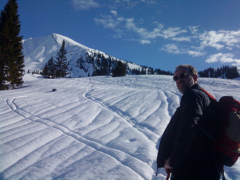
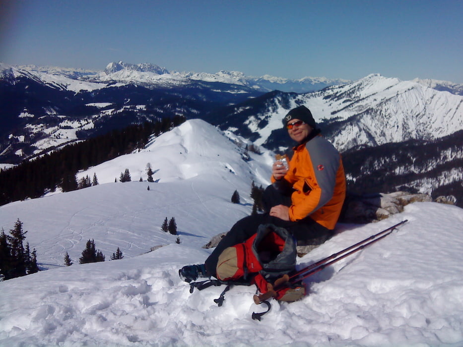
Tour im Heubachtal. Auf den Peitingerkopf. Großartige aussicht aufs Sonntagshorn. Geringe Lawinengefahr.

Tour gallery

Tour map and elevation profile

  • Open Street Map
  • Google
Minimum height 380 m Maximum height 1729 m Detailed view

More about the tour author

sapheimer
Member since 2007

Send private message

Comments

An der B21 Bad Reichenhall - Lofer in Unken in Richtung Heuberg / Heuberglifte abbiegen. Die Kehren hoch und beim Schild "Parkplatz Sommerberg"

GPS tracks

Trackpoints
  • GPX / Garmin Map Source (gpx) download
  • TCX / Garmin Training Center® (tcx) download
  • CRS / Garmin Training Center® (crs) download
  • Google Earth (kml) download
  • G7ToWin (g7t) download
  • TTQV (trk) download
  • Overlay (ovl) download
  • Fugawi (txt) download
  • Kompass (DAV) Track (tk) download
  • Track data sheet (pdf) download
  • Original file of the author (gpx) download

More about the tour author

sapheimer
Member since 2007

Send private message
Share track
Add to my favorites
Remove from my favorites
Edit tags
My score
Rate
Track: Unken, Heubachtal auf den Peitingerkopf
Type: Ski touring
Distance: 4,2 km
Evaluated on:
Duration:
Day(s)
Hour(s)
Minute(s)
Score: Landscape Fun factor Fitness Technique