

Eine fast flache Runde, lediglich die Anfahrt nach Herongen macht ein paar Höhenmeter.
Die Tour führt durch die folgenden Ortschaften:
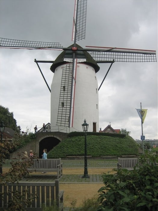
Oedt, Grefrath, Wachtendonk, Walbeck, Herongen, Mülhausen, Oedt
Wer eine schnelle Runde ohne viele Kurven und mit wenig Verkehr fahren möchte, ist hier richtig.
Tour gallery

Tour map and elevation profile
Minimum height 25 m
Maximum height 61 m
More about the tour author
|
|
Oregon_x1 |
Comments

Da es sich hierbei um einen Rundkurs handelt, kann man an beliebiger Stelle einsteigen.
Durch die gute Anfahrtsbeschreibung, bietet sich jedoch das Grefrather Eisstadion an.
GPS tracks
Trackpoints-
GPX / Garmin Map Source (gpx) download
-
TCX / Garmin Training Center® (tcx) download
-
CRS / Garmin Training Center® (crs) download
-
Google Earth (kml) download
-
G7ToWin (g7t) download
-
TTQV (trk) download
-
Overlay (ovl) download
-
Fugawi (txt) download
-
Kompass (DAV) Track (tk) download
-
Track data sheet (pdf) download
-
Original file of the author (gpx) download
More about the tour author
|
|
Oregon_x1 |
Add to my favorites
Remove from my favorites
Edit tags
Open track
My score
Rate