Login

Forgotten password?

Cookies have to be accepted!
Your browser's cookie functionality is disabled. Please enable this functionality.

Not a member yet?

Register now
Login

Available for registred users only

Log in to use this feature.

Forgotten password?

Cookies have to be accepted!
Your browser's cookie functionality is disabled. Please enable this functionality.

Not a member yet?

Register now
Filter
Categories
Advanced filters
  • Distance (km)
  • Height
Save filters Reset filter

TrackRank

QRCode

Technical data

Distance9,0 km Height153 m Way down145 m Duration02:00 h:m Date10.04.2009
Scores Author Landscape Fun factor Fitness Technique

Statistics

371 Views Scores 49 Downloads Average
Rate
  • Track data sheet
  • Directions
  • Downloads

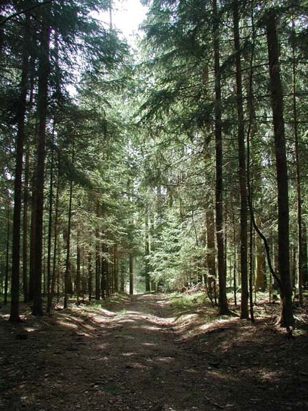
Auch der "Oberbränd", zu welchem Sie auf dieser Wanderung durch den Klosterwald kommen, bietet bei gutem Wetter eine attraktive Fernsicht auf das Alpenmassiv.
Anschließend geht es weiter über den Höchst vorbei am Sportplatz der Gemeinde Eisenbach zur Hochebene - wieder mit traumhafter Fernsicht.

Diese Tour kann auch mit dem Mountainbike absolviert werden.

Further information at

http://www.cafe-feldbergblick.de/sommer/html/wandern.html

Tour map and elevation profile

  • Open Street Map
  • Google
Minimum height 956 m Maximum height 1081 m Detailed view

More about the tour author

RVogelbacher
Member since 2009

Send private message

Comments

GPS tracks

Trackpoints
  • GPX / Garmin Map Source (gpx) download
  • TCX / Garmin Training Center® (tcx) download
  • CRS / Garmin Training Center® (crs) download
  • Google Earth (kml) download
  • G7ToWin (g7t) download
  • TTQV (trk) download
  • Overlay (ovl) download
  • Fugawi (txt) download
  • Kompass (DAV) Track (tk) download
  • Track data sheet (pdf) download
  • Original file of the author (gpx) download

More about the tour author

RVogelbacher
Member since 2009

Send private message
Share track
Add to my favorites
Remove from my favorites
Edit tags
My score
Rate
Track: Oberbrändrundweg (Schwärzenbach - Titisee-Neustadt)
Type: Hiking
Distance: 9,0 km
Evaluated on:
Duration:
Day(s)
Hour(s)
Minute(s)
Score: Landscape Fun factor Fitness Technique