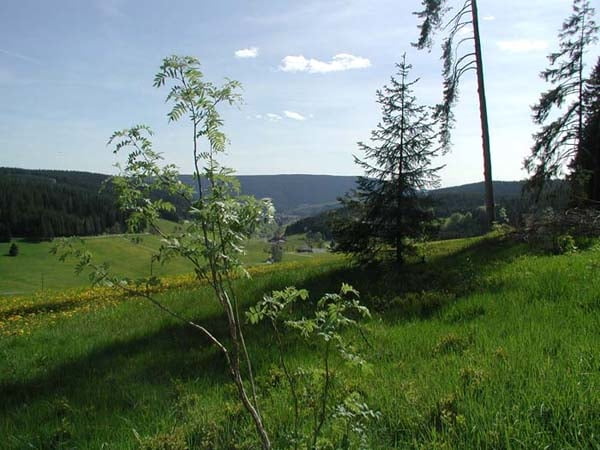
Auf diesem Rundweg wandern Sie zu durch das Gfellloch vorbei am Hasenhof zum Lohrenhof. Von dort aus geht es wieder aufwärts zum Heselberg, vorbei am Heselkreuz, wo sich vor Ihnen das schöne Reichenbachtal ausbreitet. Diese Wanderung führt dann anschließend zurück nach Oberschwärzenbach.
Further information at
http://www.cafe-feldbergblick.de/wanderurlaub_titisee.htmlTour map and elevation profile
Minimum height 908 m
Maximum height 1047 m
Comments

GPS tracks
Trackpoints-
GPX / Garmin Map Source (gpx) download
-
TCX / Garmin Training Center® (tcx) download
-
CRS / Garmin Training Center® (crs) download
-
Google Earth (kml) download
-
G7ToWin (g7t) download
-
TTQV (trk) download
-
Overlay (ovl) download
-
Fugawi (txt) download
-
Kompass (DAV) Track (tk) download
-
Track data sheet (pdf) download
-
Original file of the author (gpx) download
Add to my favorites
Remove from my favorites
Edit tags
Open track
My score
Rate


