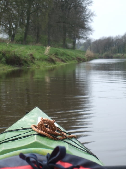
Tour auf der Hase durch das Emsland. Wenig Verkehr und viele Tiere am Ufer. Boote können überall geliehen werden. Keine großen Schwierigkeiten und auch für Anfänger leicht zu bewältigen. Nach Bokeloh gibt es fast keine Strömung mehr.
Further information at
http://www.kanuverleih-hasetal.eu/Tour gallery
Tour map and elevation profile
Minimum height 2 m
Maximum height 55 m
Comments
Von Haselünne in Richtung Bückelte. Kurz vorm Ortseingang von Bückelte führt eine Brücke über die Hase, an der sich auch der Anleger befindet.
GPS tracks
Trackpoints-
GPX / Garmin Map Source (gpx) download
-
TCX / Garmin Training Center® (tcx) download
-
CRS / Garmin Training Center® (crs) download
-
Google Earth (kml) download
-
G7ToWin (g7t) download
-
TTQV (trk) download
-
Overlay (ovl) download
-
Fugawi (txt) download
-
Kompass (DAV) Track (tk) download
-
Track data sheet (pdf) download
-
Original file of the author (gpx) download
Add to my favorites
Remove from my favorites
Edit tags
Open track
My score
Rate


Hase
Ich bin ihn schon mindestens 3-mal gefahren und ist immer wieder ein Erlebnis.