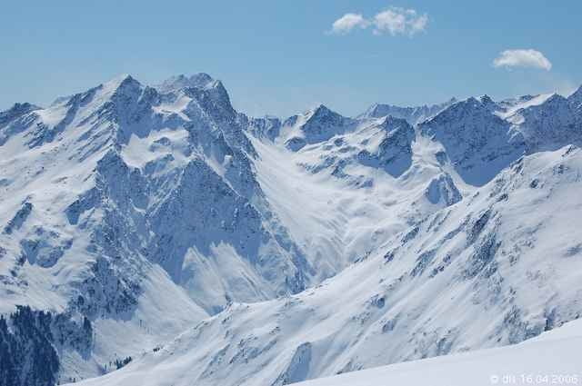
Wer eine einsame Skitour sucht, ist hier falsch!
Man kommt sich vor wie von den Toren Münchens, so stark ist diese Region von den Bayern besucht. Trotz des Massenaufstiegs verläuft sich die Meute dann bei der Abfahrt dann doch recht rasch.
Start ist beim Parkplatz in Praxmar und man steigt rechts vom "Hausberglift" hinauf oder nutzt den Lift gar für die ersten 400 HM.
Nach moderatem Beginn hat es der steile Aufstieg am Ende des Kampellochs in sich. Auf ca. 2900 m erreicht man den Bergsattel und kurze Zeit später das Skidepot, von wo es ohne Ski zum Gipfel (3004 m) geht.
Abfahrt: entweder entlang der Aufstiegsspur oder wie in diesem Fall vom Gipfelsattel Richtung Norden in das Sattelloch bis man die Felseformation passiert hat und wieder am unteren Ende des Sattellochs auf die Aufstiegsspur stößt.
Tour gallery
Tour map and elevation profile
Minimum height 1686 m
Maximum height 2941 m
Comments
von Innsbruck Richtung Kühtai und in Gries i.Sellrain abbiegen nach Praxmar. Am Schlepplift in Praxmar gibt es einen gebührenpflichtigen Parkplatz.
GPS tracks
Trackpoints-
GPX / Garmin Map Source (gpx) download
-
TCX / Garmin Training Center® (tcx) download
-
CRS / Garmin Training Center® (crs) download
-
Google Earth (kml) download
-
G7ToWin (g7t) download
-
TTQV (trk) download
-
Overlay (ovl) download
-
Fugawi (txt) download
-
Kompass (DAV) Track (tk) download
-
Track data sheet (pdf) download
-
Original file of the author (g7t) download
Add to my favorites
Remove from my favorites
Edit tags
Open track
My score
Rate


ich bin selbst im Zweifel ob es verantwortbar ist Schitouren in diesem Forum zu beschreiben. Leider wird hier keine Bewertung der Gefährdung durch Lawinen abgegeben. Der Zischgeles scheint wegen des Andrangs harmlos, aber der Schein trügt. Es gab schon mehrfach tötliche Lawinenunfälle.
Gruß
Christian