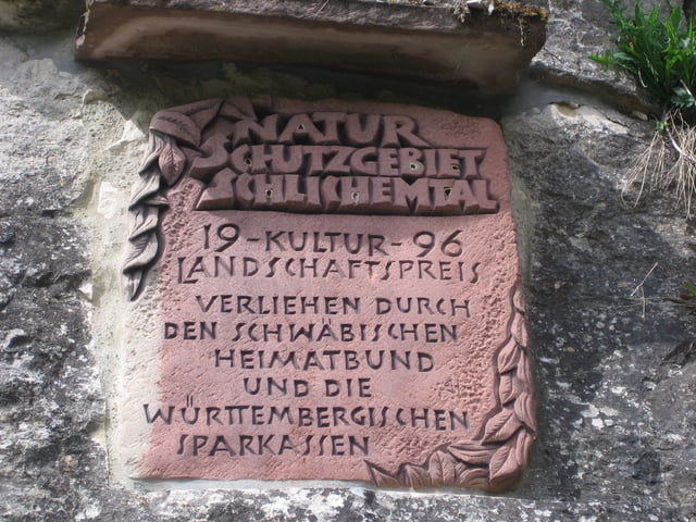
Sehr schöne Wanderung in einer Klamm.
Die reine Wanderzeit beträgt ca. 2,5 Stunden.
Sehr abwechslungsreich und interessant für Jung und Alt.
Natur pur eben ..............
Tour gallery
Tour map and elevation profile
Minimum height 481 m
Maximum height 627 m
Comments

Startpunkt sind die Sportanlagen von Epfendorf.
Siehe Daten
GPS tracks
Trackpoints-
GPX / Garmin Map Source (gpx) download
-
TCX / Garmin Training Center® (tcx) download
-
CRS / Garmin Training Center® (crs) download
-
Google Earth (kml) download
-
G7ToWin (g7t) download
-
TTQV (trk) download
-
Overlay (ovl) download
-
Fugawi (txt) download
-
Kompass (DAV) Track (tk) download
-
Track data sheet (pdf) download
-
Original file of the author (gpx) download
Add to my favorites
Remove from my favorites
Edit tags
Open track
My score
Rate


