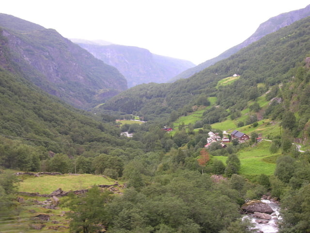
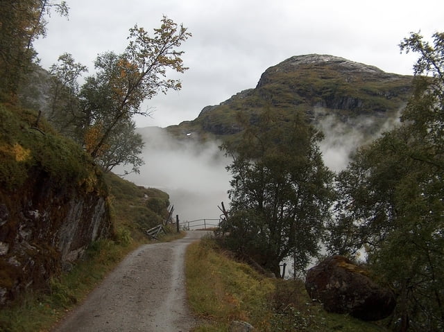
Vom Hafen und Bahnhof Flam fahren wir immer taleinwärts an Wasserfällen vorbei, durch Tunnels und steile Serpentinen bis nach Myrdal. Abzweig zum Bahnhof Myrdahl mit Möglichkeit zur Verpflegung. Dann zurück auf den Weg und weiter bis Finse auf einem ungeteerten Weg. Wunderschöne Gegend mit Seen und Fjäll. Die Serpentinen unterhalb Myrdahl sind sehr steil und schottrig und verlangen eine Portion Biss.
Tour gallery
Tour map and elevation profile
Minimum height 99999 m
Maximum height -99999 m
Comments

GPS tracks
Trackpoints-
GPX / Garmin Map Source (gpx) download
-
TCX / Garmin Training Center® (tcx) download
-
CRS / Garmin Training Center® (crs) download
-
Google Earth (kml) download
-
G7ToWin (g7t) download
-
TTQV (trk) download
-
Overlay (ovl) download
-
Fugawi (txt) download
-
Kompass (DAV) Track (tk) download
-
Track data sheet (pdf) download
-
Original file of the author (gpx) download
Add to my favorites
Remove from my favorites
Edit tags
Open track
My score
Rate


