Login

Forgotten password?

Cookies have to be accepted!
Your browser's cookie functionality is disabled. Please enable this functionality.

Not a member yet?

Register now
Login

Available for registred users only

Log in to use this feature.

Forgotten password?

Cookies have to be accepted!
Your browser's cookie functionality is disabled. Please enable this functionality.

Not a member yet?

Register now
Filter
Categories
Advanced filters
  • Distance (km)
  • Height
Save filters Reset filter

TrackRank

QRCode

Technical data

Distance67,2 km Height806 m Way down812 m Duration04:00 h:m Date21.04.2009
Scores Author Landscape Fun factor Fitness Technique

Statistics

1219 Views 1 Score 371 Downloads 5.00 Average
Rate
  • Track data sheet
  • Directions
  • Downloads

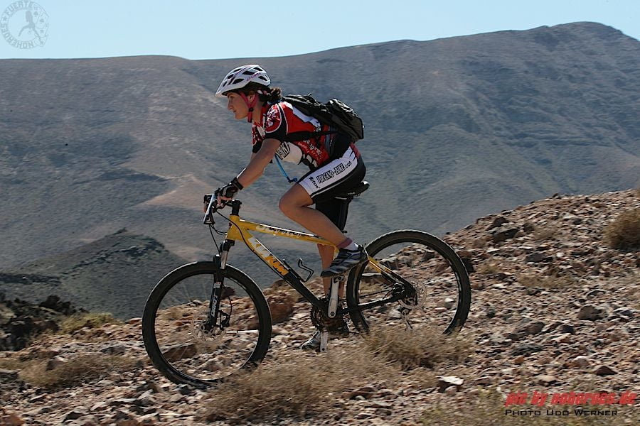
Dieser Kurs war ursprünglich auch eine Marathonstrecke, und beginnt in Caleta de Fustes. Einige hundert Meter entlang der Strasse geht es dann nach links ins Gelände und der Spass beginnt mit einem langen aber leichten Anstieg. Man arbeitet sich langsam aber sicher immer weiter ins Landesinnere vor, und man bekommt sehr schöne Einblicke in die Lebensart der einheimischen Bevölkerung. Diese Strecke ist landschaftich relativ abwechlungsreich,und man bekommt sehr viel von Land und Leuten zu sehen, was auf Fuerteventura ja nicht so oft vorkommt :-).

Fahrtechnisch schon relativ anspruchsvoll, hat man verschiedene Untergründe zu bewältigen, zu 95% auf Schotterwegen und Pisten von weich und sandig bis ziemlich verblockt alles dabei.

Deshalb auch dies eine Strecke für sehr gute Mountainbiker mit sehr guter Kondition und Fahrtechnik.


Further information at

http://www.volcano-bike.de

Tour map and elevation profile

  • Open Street Map
  • Google
Minimum height 2 m Maximum height 240 m Detailed view

More about the tour author

empe_42
Member since 2009

Send private message

Comments

Caleta de Fustes liegt ca. 10 Autominuten südlich von Puerto del Rosario, dierekt an der FV-2.

GPS tracks

Trackpoints
  • GPX / Garmin Map Source (gpx) download
  • TCX / Garmin Training Center® (tcx) download
  • CRS / Garmin Training Center® (crs) download
  • Google Earth (kml) download
  • G7ToWin (g7t) download
  • TTQV (trk) download
  • Overlay (ovl) download
  • Fugawi (txt) download
  • Kompass (DAV) Track (tk) download
  • Track data sheet (pdf) download
  • Original file of the author (gpx) download

More about the tour author

empe_42
Member since 2009

Send private message
Share track
Add to my favorites
Remove from my favorites
Edit tags
My score
Rate
Track: volcano grande
Type: Mountain bike
Distance: 67,2 km
Evaluated on:
Duration:
Day(s)
Hour(s)
Minute(s)
Score: Landscape Fun factor Fitness Technique