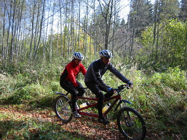
Sehr schöne weite Tour durchs Mangfalltal zum Schliersee weiter an der Leitzach auf schönen Wiesenwegen zum Hocheck und Auerberg. Sehr nette Einkehr beim Gasthof Hocheck mit super Aussicht. Dann eine Rasante Abfahrt ins Voralpen Land richtung Bad Aibling und zurück an der Mangfall nach Westerham.
Änlich wie eine Mosertour!
Tour map and elevation profile
Minimum height 480 m
Maximum height 895 m
Comments

Autobahn A8 Richtung Salburg Abfahrt Weyen Richtung Feldkirchen in Westerham gleich an der Mangfall Brücke Parken.
Man kann auch bei der Kreuzstrasse Starten!
GPS tracks
Trackpoints-
GPX / Garmin Map Source (gpx) download
-
TCX / Garmin Training Center® (tcx) download
-
CRS / Garmin Training Center® (crs) download
-
Google Earth (kml) download
-
G7ToWin (g7t) download
-
TTQV (trk) download
-
Overlay (ovl) download
-
Fugawi (txt) download
-
Kompass (DAV) Track (tk) download
-
Track data sheet (pdf) download
-
Original file of the author (gpx) download
Add to my favorites
Remove from my favorites
Edit tags
Open track
My score
Rate

