

Start und Ziel Hotel Terra Nova in Tonbach
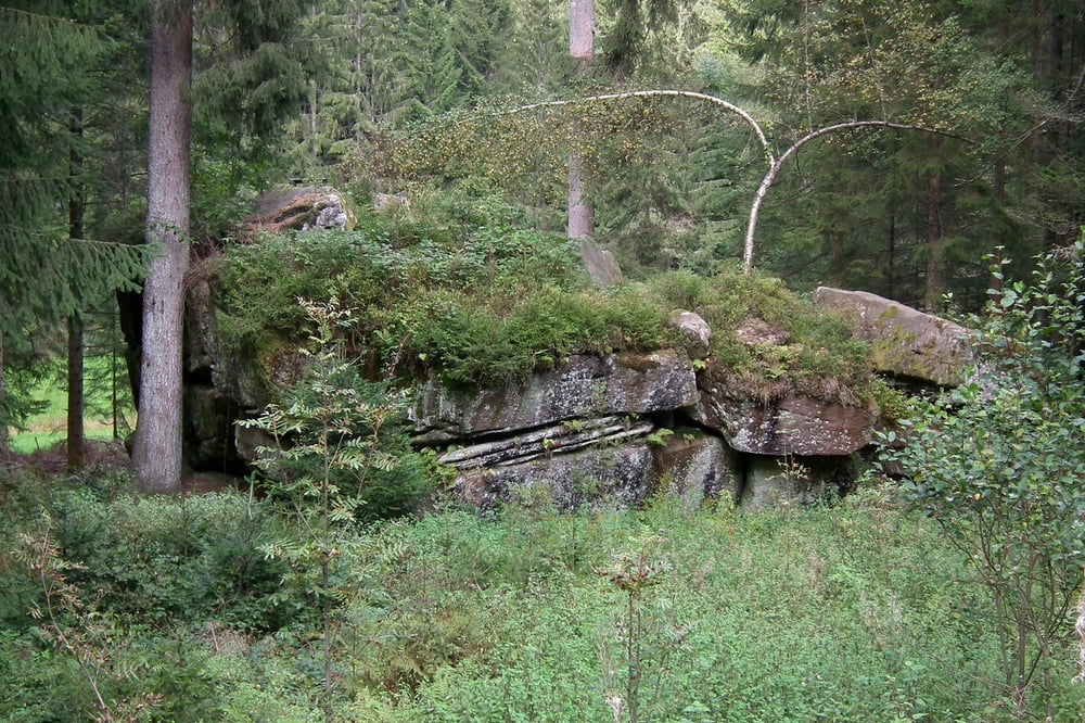
Der Tonbacher Heimatpfad zeigt auf, wie der arbeitende Mensch die Naturlandschaft beeinflußt und in eine Kulturlandschaft umgewandelt hat. Entsprechend lädt der Pfad zum Wandern ein. Er begleitet den Tonbach als Floßstraße, passiert Kohleplatten, auf denen früher rauchende Meiler standen und führt zu frühindustriellen Anlagen und sagenumwobenen Steinen. Er erzählt von Siedlern, Holzhauern, Harzern, Fuhrknechten, Häckerinnen, Förster und beschreibt das erbärmliche Leben der armen Leute vom Tal.
Abschließend zeichnet der Pfad den Wandel in die moderne Zeit nach: Neue Energien und das Tourismusgewerbe veränderte die Lebensweise der Waldleute.
Weitere Informationen:
Wander-Informationszentrum
Tour gallery


Tour map and elevation profile
Minimum height 557 m
Maximum height 655 m
More about the tour author
|
|
Biker-Tommy |
Comments

GPS tracks
Trackpoints-
GPX / Garmin Map Source (gpx) download
-
TCX / Garmin Training Center® (tcx) download
-
CRS / Garmin Training Center® (crs) download
-
Google Earth (kml) download
-
G7ToWin (g7t) download
-
TTQV (trk) download
-
Overlay (ovl) download
-
Fugawi (txt) download
-
Kompass (DAV) Track (tk) download
-
Track data sheet (pdf) download
-
Original file of the author (gpx) download
More about the tour author
|
|
Biker-Tommy |
Add to my favorites
Remove from my favorites
Edit tags
Open track
My score
Rate