Login

Forgotten password?

Cookies have to be accepted!
Your browser's cookie functionality is disabled. Please enable this functionality.

Not a member yet?

Register now
Login

Available for registred users only

Log in to use this feature.

Forgotten password?

Cookies have to be accepted!
Your browser's cookie functionality is disabled. Please enable this functionality.

Not a member yet?

Register now
Filter
Categories
Advanced filters
  • Distance (km)
  • Height
Save filters Reset filter

TrackRank

QRCode

Technical data

Distance44,3 km Height679 m Way down671 m Duration00:00 h:m Date29.04.2009
Scores Author User Landscape Fun factor Fitness Technique

Statistics

2514 Views 3 Scores 465 Downloads 3.67 Average
Rate
  • Track data sheet
  • Directions
  • Downloads

Tour gallery

Tour map and elevation profile

  • Open Street Map
  • Google
Minimum height 361 m Maximum height 500 m Detailed view

More about the tour author

Andreas Wenger
Member since 2006

Send private message

Comments

NoNick on 27.07.2011

80% Autobahn

Leider hat der Autor versäumt eine Beschreibung der Tour zu verfassen.
Daher von mir eine kurze Beschreibung der Strecke:
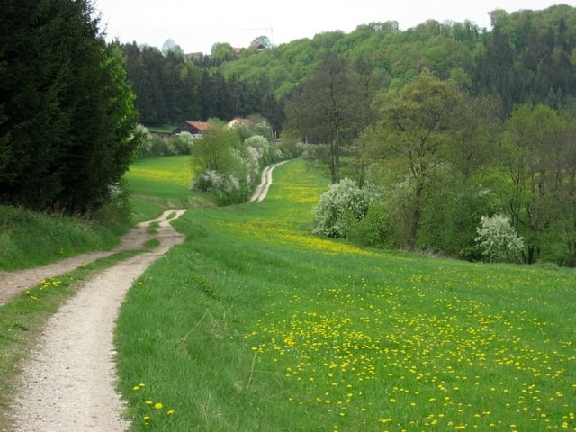
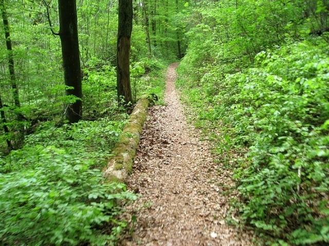
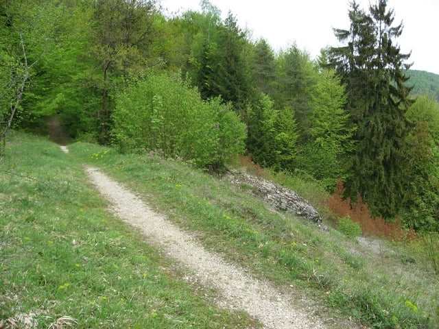
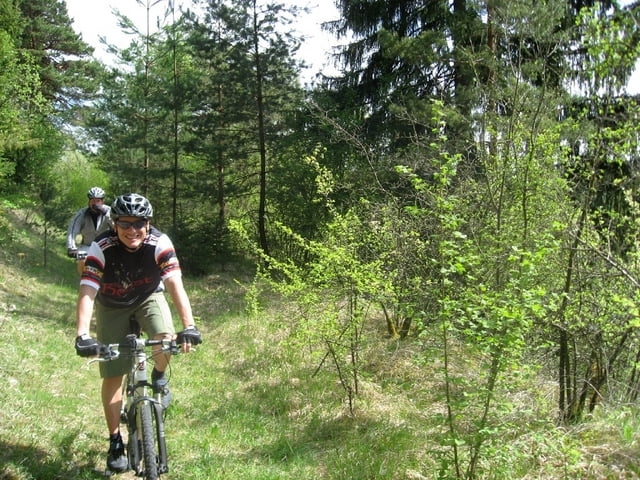
Ca. 80% der Strecke sind auf Asphalt oder geschotterten Feld- und Waldautobahnen, 10% der "Trails" sind auch für fahrtechnisch weniger begabte Fahrer leicht zu bewältigen, der Rest hat aus meiner Sicht den Namen "Trail" verdient.
Wer nach Feierabend noch schnell eine Runde mit seinem CC-Bike ohne Anspruch ans Gelände heizen will, ist hier gut bedient. Alle Fahrer mit mehr als 100mm Federweg könnten enttäuscht werden.
Spoeko on 17.07.2013

Geringer Trailanteil

Ich stimme meinem Vorkommentator zu. Die Landschaft auf dieser Tour ist top und an den Anstiegen kann man sich schön verausgaben. Die Trails machen auch Spaß, sind aber extram kurz - unter einer Trailtour erwarte ich mir hier mehr.

GPS tracks

Trackpoints
  • GPX / Garmin Map Source (gpx) download
  • TCX / Garmin Training Center® (tcx) download
  • CRS / Garmin Training Center® (crs) download
  • Google Earth (kml) download
  • G7ToWin (g7t) download
  • TTQV (trk) download
  • Overlay (ovl) download
  • Fugawi (txt) download
  • Kompass (DAV) Track (tk) download
  • Track data sheet (pdf) download
  • Original file of the author (gpx) download

More about the tour author

Andreas Wenger
Member since 2006

Send private message
Share track
Add to my favorites
Remove from my favorites
Edit tags
My score
Rate
Track: Dietfurt Trails
Type: Mountain bike
Distance: 44,3 km
Evaluated on:
Duration:
Day(s)
Hour(s)
Minute(s)
Score: Landscape Fun factor Fitness Technique