


Die Tour wird im Taschenbuch "Wandern um Jena, Südliche Umgebung", erschienen im Jenzig-Verlag Jena, als Wanderung 12 genau beschrieben.
Sie führt von Ottendorf auf einsamen Wald- und Feldwegen durch malerische Landschaft zunächst zum Standort der Brehmbuche, dann hinunter nach Unterrenthendorf mit dem Brehm-Museum, über Kleinebersdorf zum Rothvorwerk und schließlich zurück zum Ausgangspunkt.
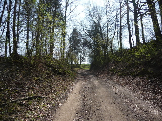
Tour gallery


Tour map and elevation profile
Minimum height 243 m
Maximum height 375 m
More about the tour author
|
|
aussie1248 |
Comments

A4 bis Abfahrt Stadtroda bis Ortsmitte Stadtroda, weiter Richtung Kahla, in Tröbnitz links abbiegen ins Tal bis nach Ottendorf.
Navi: Ottendorf, Hauptstraße
GPS tracks
Trackpoints-
GPX / Garmin Map Source (gpx) download
-
TCX / Garmin Training Center® (tcx) download
-
CRS / Garmin Training Center® (crs) download
-
Google Earth (kml) download
-
G7ToWin (g7t) download
-
TTQV (trk) download
-
Overlay (ovl) download
-
Fugawi (txt) download
-
Kompass (DAV) Track (tk) download
-
Track data sheet (pdf) download
-
Original file of the author (gpx) download
More about the tour author
|
|
aussie1248 |
Add to my favorites
Remove from my favorites
Edit tags
Open track
My score
Rate