
")

St.Antönien (Parkplatz) - Berghaus Alpenrösli - Schijenfluh(2620m)
Parkplatz - Alpenrösli (1h)
Alpenrösli - Gipfel (3 1/2h)
Zunächst zur steilen Scharte (Lawinengefährtdet)
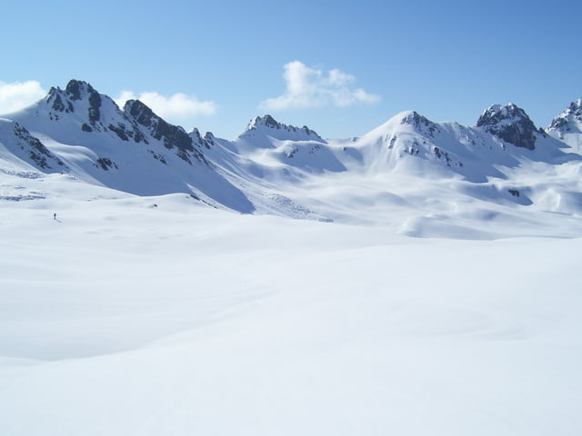
Nach der steilen Scharte im flachen,weiten Hochtal besser dem Track folgen als eventuell zu weit westlich durch die Mulden aufzusteigen.
Die nette Hüttenwirtin von Berghaus Alpenrösli stand vor 5 Uhr auf, kochte uns einen Kaffee und als wir vor Mittag von der Tour zurückkamen, gab's nochmal ein richtiges Frühstücksbuffet!!
Further information at
http://www.berghaus-alpenroesli.chTour gallery


Tour map and elevation profile
Minimum height 1462 m
Maximum height 2618 m
More about the tour author
|
|
hans-lauber |
Comments

GPS tracks
Trackpoints-
GPX / Garmin Map Source (gpx) download
-
TCX / Garmin Training Center® (tcx) download
-
CRS / Garmin Training Center® (crs) download
-
Google Earth (kml) download
-
G7ToWin (g7t) download
-
TTQV (trk) download
-
Overlay (ovl) download
-
Fugawi (txt) download
-
Kompass (DAV) Track (tk) download
-
Track data sheet (pdf) download
-
Original file of the author (gpx) download
More about the tour author
|
|
hans-lauber |
Add to my favorites
Remove from my favorites
Edit tags
Open track
My score
Rate