


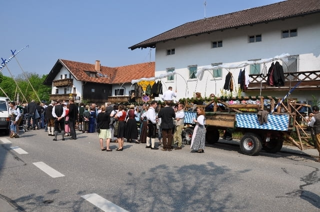
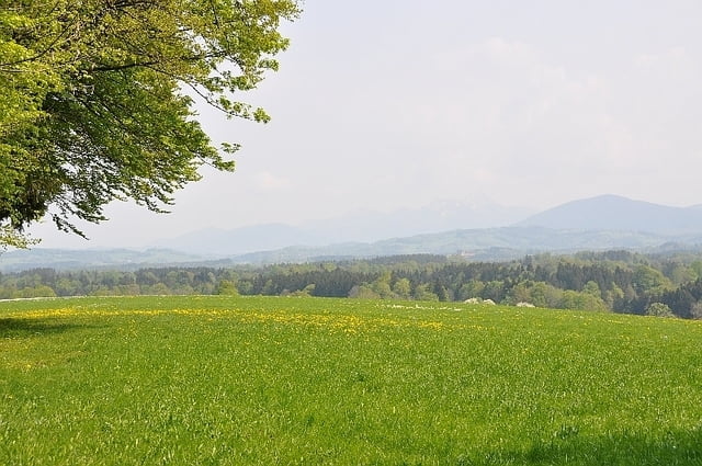
Schöne Runde mit ein paar STeigungen ins bayrische Voralpengebiet. Sehr schön ist die Strecke an der Mangfall entlang, die auch dem M-Wasser Radweg (München - Gmund) folgt. Vom Taubenberg aus, hat man eine schöne Aussicht in die Berge.
Einkehrmöglichkeiten sind viele vorhanden. BEsonders gut die die Eisdiele in Holzkirchen und der Biergarten in Arget (Graf Arco).
Further information at
http://www.swm.de/de/produkte/mwasser/wasser-angebote/mwasserweg.htmlTour gallery
Tour map and elevation profile
Minimum height 548 m
Maximum height 798 m
More about the tour author

|
smartandem |
Comments

mit der S-Bahn bis Haar fahren und dann Richtung Grasbrunn auf die aufgenommene Route auffahren.
Mit dem Auto kann man auf der A99 bis zur Ausfahrt Haar oder Putzbrunn fahren und dann auf kleinen Sträßchen bis nach Grasbrunn.
GPS tracks
Trackpoints-
GPX / Garmin Map Source (gpx) download
-
TCX / Garmin Training Center® (tcx) download
-
CRS / Garmin Training Center® (crs) download
-
Google Earth (kml) download
-
G7ToWin (g7t) download
-
TTQV (trk) download
-
Overlay (ovl) download
-
Fugawi (txt) download
-
Kompass (DAV) Track (tk) download
-
Track data sheet (pdf) download
-
Original file of the author (gpx) download
More about the tour author
|
|
smartandem |
Add to my favorites
Remove from my favorites
Edit tags
Open track
My score
Rate