


Eine von 20 Extratouren entlang des Hochrhöners.
Einstiegsmöglichkeiten sind der Parkplatz ausserhalb Sandbergs - Kilianshof oder der Parkplatz Irenkreuz
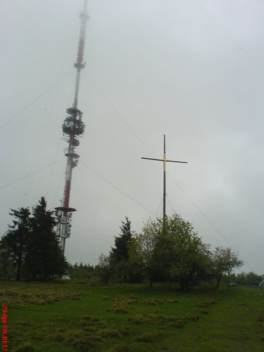
Der Aufstieg zum Kreuzberg (928 m) erfordert etwas Kondition. Dafür wird man am Kreuzberg mit einer leckeren Brotzeit und einem kühlen Kreuzbergbier belohnt.
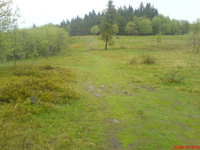
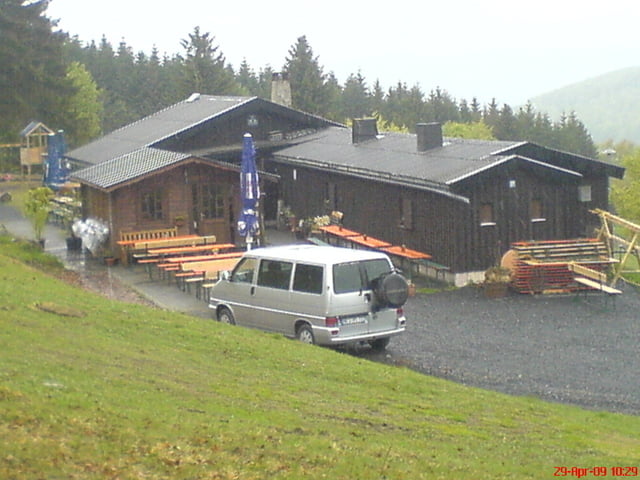
Weiter geht der weg vorbei an der Gemündener Hütte (Einkehrmöglichkeit) am Neustädter Haus vorbei am Irenkreuz und weiter nach Kilianshof und dann weiter nach Sandberg.
Die meiste Zeit führt der Weg durch Wald so dass die Strecke auch bei höheren Temperaturen angenehm zu laufen ist.
Tour gallery
Tour map and elevation profile
Minimum height 220 m
Maximum height 921 m
More about the tour author
|
|
oboe-kg |
Comments

GPS tracks
Trackpoints-
GPX / Garmin Map Source (gpx) download
-
TCX / Garmin Training Center® (tcx) download
-
CRS / Garmin Training Center® (crs) download
-
Google Earth (kml) download
-
G7ToWin (g7t) download
-
TTQV (trk) download
-
Overlay (ovl) download
-
Fugawi (txt) download
-
Kompass (DAV) Track (tk) download
-
Track data sheet (pdf) download
-
Original file of the author (gpx) download
More about the tour author
|
|
oboe-kg |
Add to my favorites
Remove from my favorites
Edit tags
Open track
My score
Rate