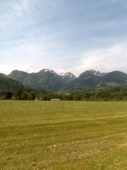
Sehr schöne Tour.
Die Tour führt fast ausschließlich über schöne Nebenstraßen. Manchmal muss jedoch auch auf einen Radweg ausweichen.
Viel Spaß beim Radeln !
Über einen postiven Kommentar würde ich mich sehr freuen. :-)
Tour gallery
Tour map and elevation profile
Minimum height 462 m
Maximum height 1116 m
Comments
GPS tracks
Trackpoints-
GPX / Garmin Map Source (gpx) download
-
TCX / Garmin Training Center® (tcx) download
-
CRS / Garmin Training Center® (crs) download
-
Google Earth (kml) download
-
G7ToWin (g7t) download
-
TTQV (trk) download
-
Overlay (ovl) download
-
Fugawi (txt) download
-
Kompass (DAV) Track (tk) download
-
Track data sheet (pdf) download
-
Original file of the author (gpx) download
Add to my favorites
Remove from my favorites
Edit tags
Open track
My score
Rate


Nice
vielen Dank für die schöne Tour. Bin sie heute gefahren und kann sie uneingeschränkt weiterempfehlen. Erst war ich etwas skeptisch, da der Track nur aus knapp 500 Punkten besteht. Kann man aber ohne Probs nachfahren.
Am besten hat mir das Stück von Hohendilching (km 40) bis Arnhofen (km 45) gefallen.
Der Anstieg von Niederaudorf (km 93) bis Wall (km 96) ist übrigens ein ziemliches Brett. Dann wirds aber gemütlicher.
Insgesamt sind es immer ruhige Straßen und beste Voralpenlandschaft.
Einkehrtipp: Cafe Winkelstüberl bei km 123,6 zwischen Fischabachau und Elbach. Hier ist das offizielle Kuchen- und deshalb auch Rentnerparadies.
Ein paar Daten als Anhaltspunkt für normal trainierte Rennradfahrer:
- Reine Fahrzeit: 8:17h mit 24,8 km/h Schnitt
- Gesamtzeit (inkl. Pausen & Ampeln...): 8:39h mit 23,7 km/h Schnitt und Gesamtdurchschnittspuls 131
- Proviant: zwei Nuts-Riegel, zwei Mars-Riegel, zwei Powerbar-Gels, ein Pausebrot mit Lachs und ein Stück Zwetschgendatschi im Winkelstüberl & 2.5l Wasser
Fazit: nachfahren! Macht Spaß!
Viele Grüße
Johnny_Filter