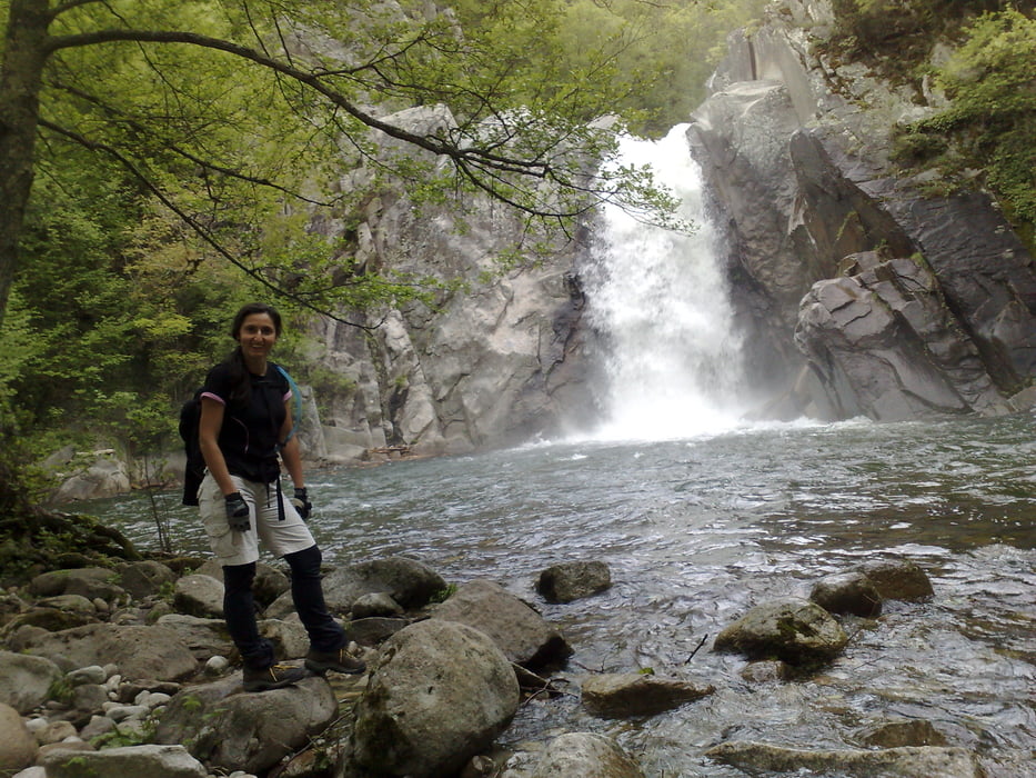
Half day journey in the vicinity of Paranesti - Southern Rhodopes. St Varvara waterfall is located some 17 km upstream Arkidorema River (Bear's River). After the visit of the waterfall the route goes back for 2 kilometers on the asphalt and then turns right (east) to start 6 km of climbing on forest road. Great views are provided in all directions. At the end of the climb is the beggining of a sweet singletrack linking the ruins of Vunoplaya village with the main road in the valley of Arkidorema.
On the way back to Paranesti there is a dirt road following the riverbed all the way to the village.
Tour map and elevation profile
Comments

GPS tracks
Trackpoints-
GPX / Garmin Map Source (gpx) download
-
TCX / Garmin Training Center® (tcx) download
-
CRS / Garmin Training Center® (crs) download
-
Google Earth (kml) download
-
G7ToWin (g7t) download
-
TTQV (trk) download
-
Overlay (ovl) download
-
Fugawi (txt) download
-
Kompass (DAV) Track (tk) download
-
Track data sheet (pdf) download
-
Original file of the author (gpx) download

