
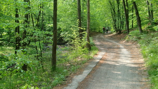

Eine wunderschöne Tour abseits der Straßen, meist über Wald- und Feldwege führt der Weg immer durch die Wälder richtung Fischbach. Ab dort geht es die Schotterwege an den Feldrändern bis nach Stolpen. Je nach Geschmack kann man jetzt eine Burgbesichtigung einlegen. Danach ein kurzes Stück Straße und danach weiter die Feldwege in Richtung Sächsische Schweiz. Dann ab nach Rathen (kurze Tragepassage) und auf zum frischen Pils. Wer jetzt noch Kraft hat kann die Elbe zurück raddeln oder -so wie wir- ihr nehmt die S-Bahn.
Further information at
http://www.dd-aktiv.deTour gallery


Tour map and elevation profile
Minimum height 99999 m
Maximum height -99999 m
More about the tour author

|
moplay |
Comments

GPS tracks
Trackpoints-
GPX / Garmin Map Source (gpx) download
-
TCX / Garmin Training Center® (tcx) download
-
CRS / Garmin Training Center® (crs) download
-
Google Earth (kml) download
-
G7ToWin (g7t) download
-
TTQV (trk) download
-
Overlay (ovl) download
-
Fugawi (txt) download
-
Kompass (DAV) Track (tk) download
-
Track data sheet (pdf) download
-
Original file of the author (gpx) download
More about the tour author
|
|
moplay |
Add to my favorites
Remove from my favorites
Edit tags
Open track
My score
Rate