


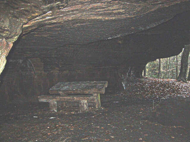
Eine sehr schöne Wanderung im Kirkeler Wald. Auf dem Weg gibt es eine ganze Reihe interessanter Stellen. Zum Beispiel ein Abenteuer-Waldcamp, der Felsenlehrpfad, alte Bunkeranlagen, eine Felsenhöhle und natürlich die Burg Kirkel am Ende der Wanderung.
Ich hab die Wanderung von einem erfahrenen Saarländischen Wanderfreund übernommen und GPS tauglich gemacht. Eine Beschreibung und Skizze findet Ihr unter dem weiterführenden Link.
Hinweis: Die GPS Datei ist eine Route, es sind also nur Punkte an den wichtigen Abbiegern - ich werde die Wanderung vermutlich demnächst nochmal machen, dann kann ich auch den Track hochladen.
Further information at
http://www.wandernmithans.de/kirkel/kirkel.htmlTour gallery
Tour map and elevation profile
Minimum height 234 m
Maximum height 354 m
More about the tour author

|
Comments

In Kirkel einfach am Startpunkt (der Sportanlage) parken und bei der Schranke ab in den Wald...
GPS tracks
Trackpoints-
GPX / Garmin Map Source (gpx) download
-
TCX / Garmin Training Center® (tcx) download
-
CRS / Garmin Training Center® (crs) download
-
Google Earth (kml) download
-
G7ToWin (g7t) download
-
TTQV (trk) download
-
Overlay (ovl) download
-
Fugawi (txt) download
-
Kompass (DAV) Track (tk) download
-
Track data sheet (pdf) download
-
Original file of the author (gpx) download
More about the tour author
|
|
Add to my favorites
Remove from my favorites
Edit tags
Open track
My score
Rate