


Tour durchs Siebengebirge
Anspruchsvolle Rundtour, beginnend an der Magarethenhöhe, über die Löwenburg, Breiberg und Drachfels, am Michhäuschen vorbei wieder zurück zur Magarethenhöhe.
Die Tour geht größenteils über den Rheinsteig. Sie bietet herrliche Blicke auf Rheintal und schöne Strecken durch den Wald. Sie ist teilweise sehr anspruchsvoll, es sind nicht alle genutzten Wege befestigt. Der Wanderer sollte eine gute Kondition mitbringen,festes Schuhwerk und Stöcke sind empfehlenswert.
Auf halbem Weg bietet sich eine Pause in Rhöndorf an.
Wer am Ende noch genug Kondition besitzt kann die Tour um ca. 2 km verlängern und noch den Ölberg erkunden (einfach der Beschilderung folgen).
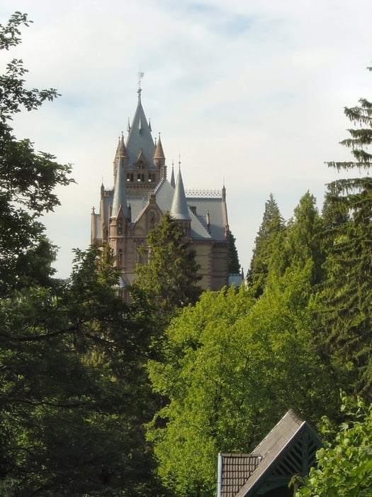
Tour gallery


Tour map and elevation profile
Minimum height 40 m
Maximum height 457 m
More about the tour author
|
|
MYSTERIOUSXL |
Comments

Die Anfahrt erfolgt über die A 59, Abfahrt Königswinter. Parkmöglichkeiten an der Magarethenhöhe/Magarethenkreuz.
Navigationssystem: Ölbergringweg/Königswintererstr., 53639 Königswinter
GPS tracks
Trackpoints-
GPX / Garmin Map Source (gpx) download
-
TCX / Garmin Training Center® (tcx) download
-
CRS / Garmin Training Center® (crs) download
-
Google Earth (kml) download
-
G7ToWin (g7t) download
-
TTQV (trk) download
-
Overlay (ovl) download
-
Fugawi (txt) download
-
Kompass (DAV) Track (tk) download
-
Track data sheet (pdf) download
-
Original file of the author (gpx) download
More about the tour author
|
|
MYSTERIOUSXL |
Add to my favorites
Remove from my favorites
Edit tags
Open track
My score
Rate