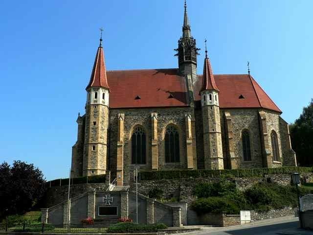
Der B 53 stellt eine Einladung an alle anspruchsvollen Radfahrer dar. Auf einer Länge von 24 km führt die Strecke durch das Bernsteiner Hügelland von Bad Tatzmannsdorf ausgehend über Mariasdorf nach Bernstein, Grodnau, Neustift und zurück nach Bad Tatzmannsdorf.
Further information at
http://www.radarena.atTour gallery
Tour map and elevation profile
Minimum height 344 m
Maximum height 642 m
Comments

GPS tracks
Trackpoints-
GPX / Garmin Map Source (gpx) download
-
TCX / Garmin Training Center® (tcx) download
-
CRS / Garmin Training Center® (crs) download
-
Google Earth (kml) download
-
G7ToWin (g7t) download
-
TTQV (trk) download
-
Overlay (ovl) download
-
Fugawi (txt) download
-
Kompass (DAV) Track (tk) download
-
Track data sheet (pdf) download
-
Original file of the author (gpx) download
Add to my favorites
Remove from my favorites
Edit tags
Open track
My score
Rate


