


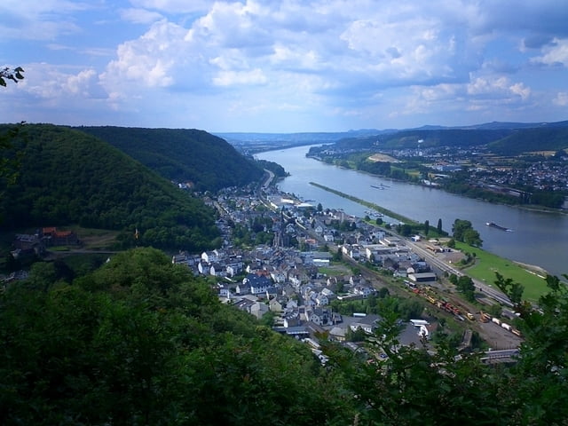
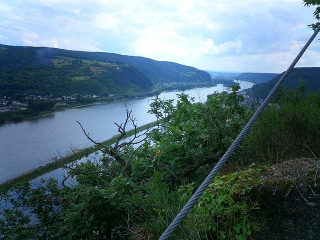
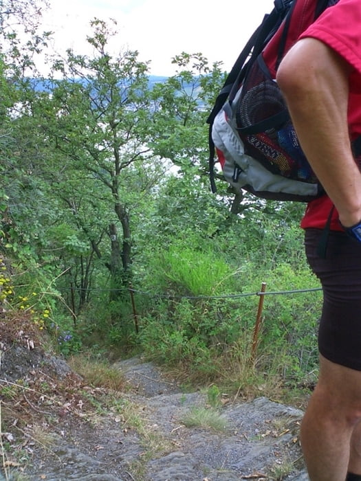
Von allem etwas: Asphalt zum Einrollen, steile Singletrails, tiefgründiger Morast, grobes Geröll, rasante Downhills, atemberaubende Aussichten auf den Rhein, Felspassagen, High Speed Slalom auf flachem Singletrail, am Ende Einkehr im Beuler Hof und Ausrollen zurück zum Parkplatz.
Besonderes Highlight: ein geheimnisvoller Steinkreis im Wald...
Weitere Infos in den Kommentaren der Wegpunkte.
Tour gallery
Tour map and elevation profile
Minimum height 47 m
Maximum height 328 m
More about the tour author
|
|
pirmin |
Comments

Start ist der Festplatz in Remagen Kripp. Der ist gross genug und es kann frei geparkt werden.
GPS tracks
Trackpoints-
GPX / Garmin Map Source (gpx) download
-
TCX / Garmin Training Center® (tcx) download
-
CRS / Garmin Training Center® (crs) download
-
Google Earth (kml) download
-
G7ToWin (g7t) download
-
TTQV (trk) download
-
Overlay (ovl) download
-
Fugawi (txt) download
-
Kompass (DAV) Track (tk) download
-
Track data sheet (pdf) download
-
Original file of the author (gpx) download
More about the tour author
|
|
pirmin |
Add to my favorites
Remove from my favorites
Edit tags
Open track
My score
Rate