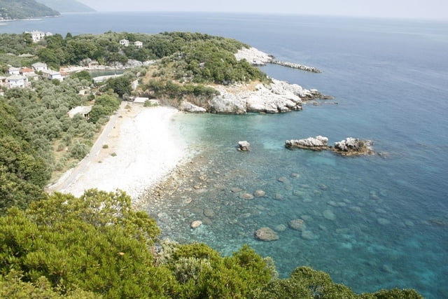
A circular path starting and ending in Tsagarada village (Pelion peninsula - Greece). The path follows a very nice and picturesque old stone mule path from the Tsagarada village down to the coastal village of Ntamouchari, where it turns up again and follows another stone mule path (which is partway damaged) to Mouressio. From Muression back to Tsagarada the trail follows the main road (2 km).
Tour gallery
Tour map and elevation profile
Minimum height 8 m
Maximum height 487 m
Comments

The path start in the northern section of Tsagarada village near the main road.
GPS tracks
Trackpoints-
GPX / Garmin Map Source (gpx) download
-
TCX / Garmin Training Center® (tcx) download
-
CRS / Garmin Training Center® (crs) download
-
Google Earth (kml) download
-
G7ToWin (g7t) download
-
TTQV (trk) download
-
Overlay (ovl) download
-
Fugawi (txt) download
-
Kompass (DAV) Track (tk) download
-
Track data sheet (pdf) download
-
Original file of the author (gpx) download
Add to my favorites
Remove from my favorites
Edit tags
Open track
My score
Rate


