Login

Forgotten password?

Cookies have to be accepted!
Your browser's cookie functionality is disabled. Please enable this functionality.

Not a member yet?

Register now
Login

Available for registred users only

Log in to use this feature.

Forgotten password?

Cookies have to be accepted!
Your browser's cookie functionality is disabled. Please enable this functionality.

Not a member yet?

Register now
Filter
Categories
Advanced filters
  • Distance (km)
  • Height
Save filters Reset filter

TrackRank

QRCode

Technical data

Distance139,8 km Height242 m Way down237 m Duration00:00 h:m Date10.06.2009
Scores Author Landscape Fun factor Fitness Technique

Statistics

1619 Views Scores 91 Downloads Average
Rate
  • Track data sheet
  • Directions
  • Downloads

Von Bocholt nach Enschede immer über Wirtschaftswege,

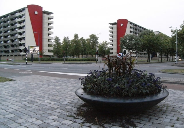
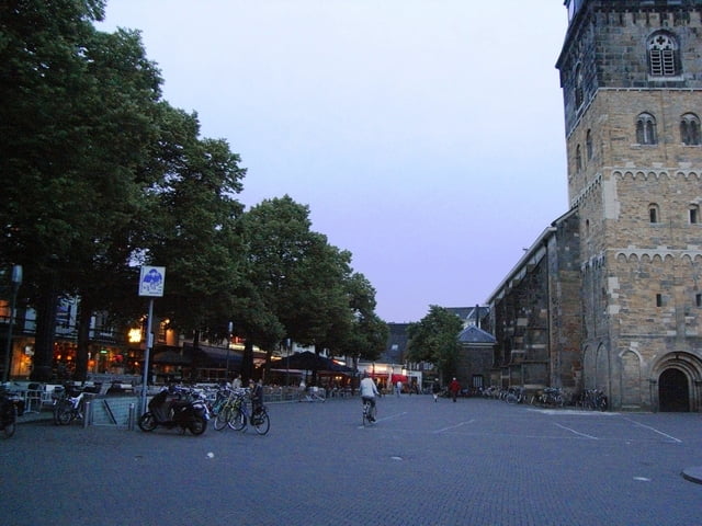
durch die Innenstadt von Enschede nach Gronau,

über die Hauptstraße nach Epe, von dort über die Bundesstraße nach Ahaus, Stadtlohn, Weseke und Burlo zurück nach Bocholt.

Tour gallery

Tour map and elevation profile

  • Open Street Map
  • Google
Minimum height 18 m Maximum height 70 m Detailed view

More about the tour author

schwaing
Member since 2008

Send private message

Comments

Ab und bis Bocholt City.

GPS tracks

Trackpoints
  • GPX / Garmin Map Source (gpx) download
  • TCX / Garmin Training Center® (tcx) download
  • CRS / Garmin Training Center® (crs) download
  • Google Earth (kml) download
  • G7ToWin (g7t) download
  • TTQV (trk) download
  • Overlay (ovl) download
  • Fugawi (txt) download
  • Kompass (DAV) Track (tk) download
  • Track data sheet (pdf) download
  • Original file of the author (gpx) download

More about the tour author

schwaing
Member since 2008

Send private message
Share track
Add to my favorites
Remove from my favorites
Edit tags
My score
Rate
Track: bocholt enschede gronau ahaus
Type: Bicycle tours
Distance: 139,8 km
Evaluated on:
Duration:
Day(s)
Hour(s)
Minute(s)
Score: Landscape Fun factor Fitness Technique