


Die Tour verläuft zuerst absolut flach durch das Erdinger Moos in Richtung Eitting. Von dort bewegt man sich entlang der Einflugschneisen über Berglern bis nach Wartenberg. Hier wirds Richtung Itzling ein bisschen hügelig. Durchs Hügelland fährt man zurück nach Walpertskirchen, Hörlkofen und schließlich wieder nach Moosinning.
Tour gallery
Tour map and elevation profile
Minimum height 99999 m
Maximum height -99999 m
More about the tour author
|
|
latinjazz |
Comments
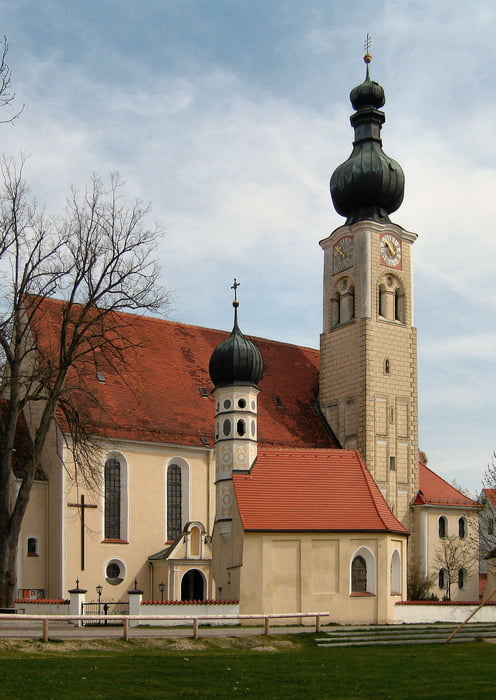
Die Tour beginnt in Moosinning an der Pestkapelle. Es kann aber natürlich an jedem anderen Punkt auf der Route eingestiegen werden.
GPS tracks
Trackpoints-
GPX / Garmin Map Source (gpx) download
-
TCX / Garmin Training Center® (tcx) download
-
CRS / Garmin Training Center® (crs) download
-
Google Earth (kml) download
-
G7ToWin (g7t) download
-
TTQV (trk) download
-
Overlay (ovl) download
-
Fugawi (txt) download
-
Kompass (DAV) Track (tk) download
-
Track data sheet (pdf) download
-
Original file of the author (gpx) download
More about the tour author
|
|
latinjazz |
Add to my favorites
Remove from my favorites
Edit tags
Open track
My score
Rate
Mehr Nebenstrecken wünschenswert
Aber unbedingt am Feiertag oder Sonntags fahren, da hohe Anteil auf Landstrassen gefahren wird.