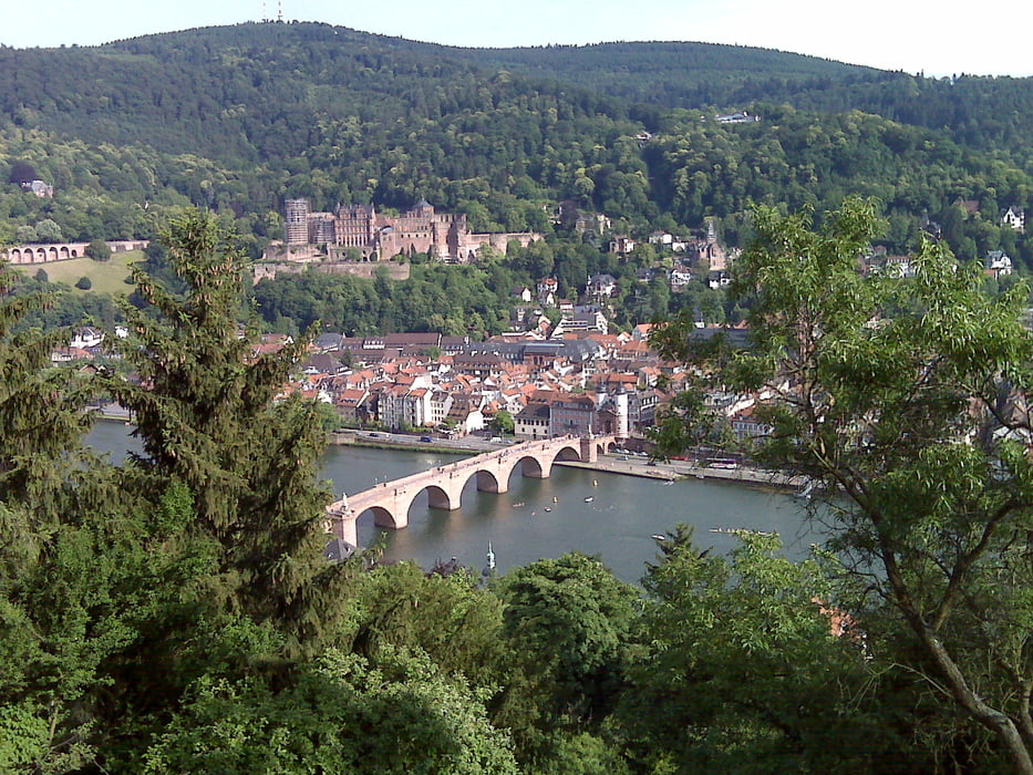
Besonderheit: Zwei Hügel und ein Steak
Tourbeginn und -ende: Shell-Tanke, Rohrbacher Str. und Cafe Bar P11, Bahnhofstraße 63
Tourbeschreibung: alte Weisheit: Folge einfach dem Track! Einkehrmöglichkeiten am Königsstuhl sowie später auf Weissem Stein.
Viel Spaß beim Steak!
Tour gallery
Tour map and elevation profile
Minimum height 112 m
Maximum height 567 m
Comments

Autobahn A5, Abfahrt Heidelberg/Schwetzingen auf die L600a (Speyerer Straße) Richtung Heidelberg, immer der Straße folgen. In Heidelberg angekommen über die Bahnschienen rüber (große Brücke), nach Brücke rechts in die Lessingstraße. Bei großer Kreuzung halb links in die Franz-Knauff-Straße. Der Straße folgen, nächste Kreuzung Rohrbacher Straße. Shelltankstelle (= Start) ist leicht zu sehen.
GPS tracks
Trackpoints-
GPX / Garmin Map Source (gpx) download
-
TCX / Garmin Training Center® (tcx) download
-
CRS / Garmin Training Center® (crs) download
-
Google Earth (kml) download
-
G7ToWin (g7t) download
-
TTQV (trk) download
-
Overlay (ovl) download
-
Fugawi (txt) download
-
Kompass (DAV) Track (tk) download
-
Track data sheet (pdf) download
-
Original file of the author (gpx) download
Add to my favorites
Remove from my favorites
Edit tags
Open track
My score
Rate


