Login

Forgotten password?

Cookies have to be accepted!
Your browser's cookie functionality is disabled. Please enable this functionality.

Not a member yet?

Register now
Login

Available for registred users only

Log in to use this feature.

Forgotten password?

Cookies have to be accepted!
Your browser's cookie functionality is disabled. Please enable this functionality.

Not a member yet?

Register now
Filter
Categories
Advanced filters
  • Distance (km)
  • Height
Save filters Reset filter

TrackRank

QRCode

Technical data

Distance52,3 km Height516 m Way down501 m Duration03:00 h:m Date15.06.2009
Scores Author Landscape Fun factor Fitness Technique

Statistics

450 Views 1 Score 100 Downloads 4.00 Average
Rate
  • Track data sheet
  • Directions
  • Downloads

Leichte Radtour im Kocher- und Jagsttal.
Dauer ca. 3h.


Die Radtour verläuft durchweg auf gut ausgebauten Radwegen.
Im Kocher- und Jagsttal ist der Radweg eben. Beim Wechsel vom Kochertal zum Jagsttal und zurück, sind leichte Steigungen zu bewältigen.

Further information at

http://www.kocher-jagst.de

Tour gallery

Tour map and elevation profile

  • Open Street Map
  • Google
Minimum height 181 m Maximum height 422 m Detailed view

More about the tour author

herbiebike
Member since 2008

Send private message

Comments

Heimi1010 on 13.06.2015

Schöne Runde in toller Landschaft

Wir sind die Tour am 04.06.2015 gefahren. Tolle Landschaft - guter Wein - Spitzenwetter, was will man mehr. Ein paar Hinweise zu Einkehrmöglichkeiten hätten uns gefallen. Vielen Dank für die schöne Runde.

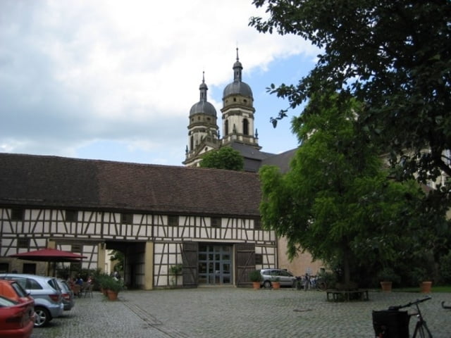
Heilbronn, Bad Friedrichshall, im Kochertal bis Forchtenberg. Dort auf einem der Parkplätze parken.

Die Tour startet in Forchtenberg.

GPS tracks

Trackpoints
  • GPX / Garmin Map Source (gpx) download
  • TCX / Garmin Training Center® (tcx) download
  • CRS / Garmin Training Center® (crs) download
  • Google Earth (kml) download
  • G7ToWin (g7t) download
  • TTQV (trk) download
  • Overlay (ovl) download
  • Fugawi (txt) download
  • Kompass (DAV) Track (tk) download
  • Track data sheet (pdf) download
  • Original file of the author (gpx) download

More about the tour author

herbiebike
Member since 2008

Send private message
Share track
Add to my favorites
Remove from my favorites
Edit tags
My score
Rate
Track: Kochertal-Jagsttal Radtour 01
Type: Trekkingbike
Distance: 52,3 km
Evaluated on:
Duration:
Day(s)
Hour(s)
Minute(s)
Score: Landscape Fun factor Fitness Technique