Login

Forgotten password?

Cookies have to be accepted!
Your browser's cookie functionality is disabled. Please enable this functionality.

Not a member yet?

Register now
Login

Available for registred users only

Log in to use this feature.

Forgotten password?

Cookies have to be accepted!
Your browser's cookie functionality is disabled. Please enable this functionality.

Not a member yet?

Register now
Filter
Categories
Advanced filters
  • Distance (km)
  • Height
Save filters Reset filter

TrackRank

QRCode

Technical data

Distance12,4 km Height422 m Way down420 m Duration00:00 h:m Date16.06.2009
Scores Author User Landscape Fun factor Fitness Technique

Statistics

7687 Views 3 Scores 370 Downloads 2.67 Average
Rate
  • Track data sheet
  • Directions
  • Downloads

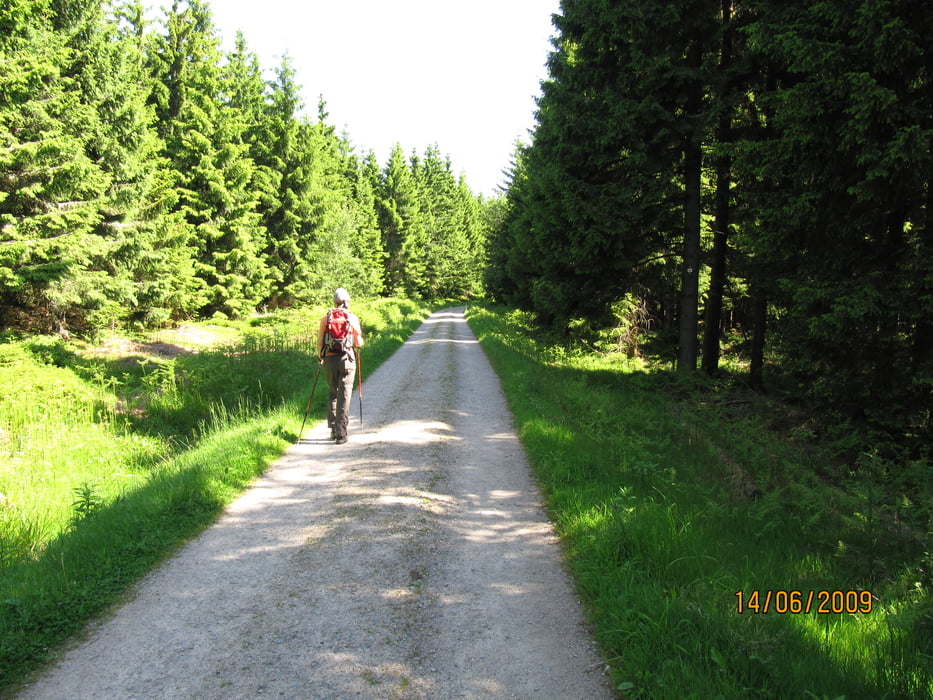
bis auf den Weg über Holzbohlen durch das Moorgebiet eher geeignet für Fahrradfahrer, da der Weg fest geschottert ist und somit ziemlich in die Beine geht.

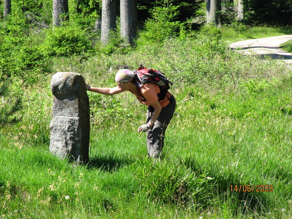
Dennoch war es eine nette Runde.

Further information at

http://picasaweb.google.com/genoveva1963/KaltenbronnHochmoor#

Tour gallery

Tour map and elevation profile

  • Open Street Map
  • Google
Minimum height 742 m Maximum height 918 m Detailed view

More about the tour author

Genoveva
Member since 2008

Send private message

Comments

Weltboss on 23.05.2011

Kaltenbronn-Hochmoor

Die erste Hälfte über die Bohlen bis zum Wildsee sind echt sehr schön! :-) Liegt einfach total ruhig da!
Der Rest weiß aber auch zu gefallen. Die Tour ist eigentlich für jeden zu meistern, die 1, 2 Anstiege sind nicht sondernlich lang.

GPS tracks

Trackpoints
  • GPX / Garmin Map Source (gpx) download
  • TCX / Garmin Training Center® (tcx) download
  • CRS / Garmin Training Center® (crs) download
  • Google Earth (kml) download
  • G7ToWin (g7t) download
  • TTQV (trk) download
  • Overlay (ovl) download
  • Fugawi (txt) download
  • Kompass (DAV) Track (tk) download
  • Track data sheet (pdf) download
  • Original file of the author (gpx) download

More about the tour author

Genoveva
Member since 2008

Send private message
Share track
Add to my favorites
Remove from my favorites
Edit tags
My score
Rate
Track: Kaltenbronn-Hochmoor
Type: Hiking
Distance: 12,4 km
Evaluated on:
Duration:
Day(s)
Hour(s)
Minute(s)
Score: Landscape Fun factor Fitness Technique