


Schöne Familienwanderung im Südschwarzwald.
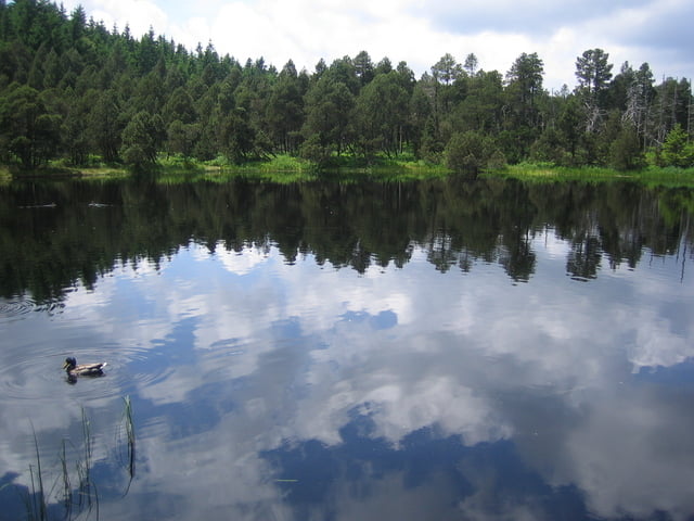
Gestartet wird in Schönwald am Friedhof. Nun geht es hinüber ins Weissenbachtal, von dort zur Weisenbachhöhe. Als nächstes wandern wir vorbei am Blindensee, einem herrlichen Hochmoorsee, welcher zu einer Pause einlädt. Weitere Rastmöglichkeiten liegen noch an unserer Strecke, der Reinertonishof und das Küferhäusle (Naturfreundehaus). Nun geht es vom Schwarzenbachtal über das Weissenbachtal zurück nach Schönwald.
Die reine Gehzeit beträgt ca. 3 Stunden.
Further information at
http://www.dasferienland.de/Tour gallery


Tour map and elevation profile
Minimum height 936 m
Maximum height 1111 m
More about the tour author
|
|
Tom19 |
Comments

Parkmöglichkeit in Schönwald am Friedhof.
Siehe Daten.
GPS tracks
Trackpoints-
GPX / Garmin Map Source (gpx) download
-
TCX / Garmin Training Center® (tcx) download
-
CRS / Garmin Training Center® (crs) download
-
Google Earth (kml) download
-
G7ToWin (g7t) download
-
TTQV (trk) download
-
Overlay (ovl) download
-
Fugawi (txt) download
-
Kompass (DAV) Track (tk) download
-
Track data sheet (pdf) download
-
Original file of the author (gpx) download
More about the tour author
|
|
Tom19 |
Add to my favorites
Remove from my favorites
Edit tags
Open track
My score
Rate