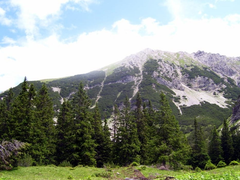
Schwarzhanskarspitze (2227m)
Wenig begangene Tour mit Blick ins Lechtal. Guter Fußpfad, z.T. in steilerem Wald- und Wiesengelände.
Abstecher zur Mahdspitze(1958m) (zusätzlich 1/2 h hin- und zurück)
Pfadspuren in Latschen, Steilgras, Geröll. Die Mahdspitze erscheint aus dem Lechtal als markanter Gipfel, entpuppt sich aber als Gratzacken mit guter Aussicht ins Lechtal.
Tour gallery
Tour map and elevation profile
Minimum height 901 m
Maximum height 2227 m
Comments

Reutte - Lechtal - Forchach
P im Ortsinneren bei der Kirche, wo der Track losgeht, ca. 5 Parkplätze
GPS tracks
Trackpoints-
GPX / Garmin Map Source (gpx) download
-
TCX / Garmin Training Center® (tcx) download
-
CRS / Garmin Training Center® (crs) download
-
Google Earth (kml) download
-
G7ToWin (g7t) download
-
TTQV (trk) download
-
Overlay (ovl) download
-
Fugawi (txt) download
-
Kompass (DAV) Track (tk) download
-
Track data sheet (pdf) download
-
Original file of the author (gpx) download
Add to my favorites
Remove from my favorites
Edit tags
Open track
My score
Rate


