

Die Tour wurde daheim geplant (Tour 36695) und mußte leider etwas abgekürzt werden, da wir bis zum Mittag im strömenden Regen gefahren sind ;-)
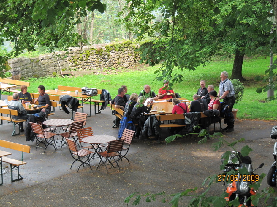
Aber dennoch haben die fast 60 Teilnehmer der Tour ihren Humor nicht verloren und das Beste daraus gemacht. Die Belohnung kam tatsächlich am Nachmittag: trockene Straßen im Bühlertal und sogar ein bischen Aussicht vom Turm der Yburg.
Further information at
http://picasaweb.google.com/genoveva1963/10vor8NordSW09#Tour gallery


Tour map and elevation profile
Minimum height 97 m
Maximum height 939 m
More about the tour author
|
|
Genoveva |
Comments

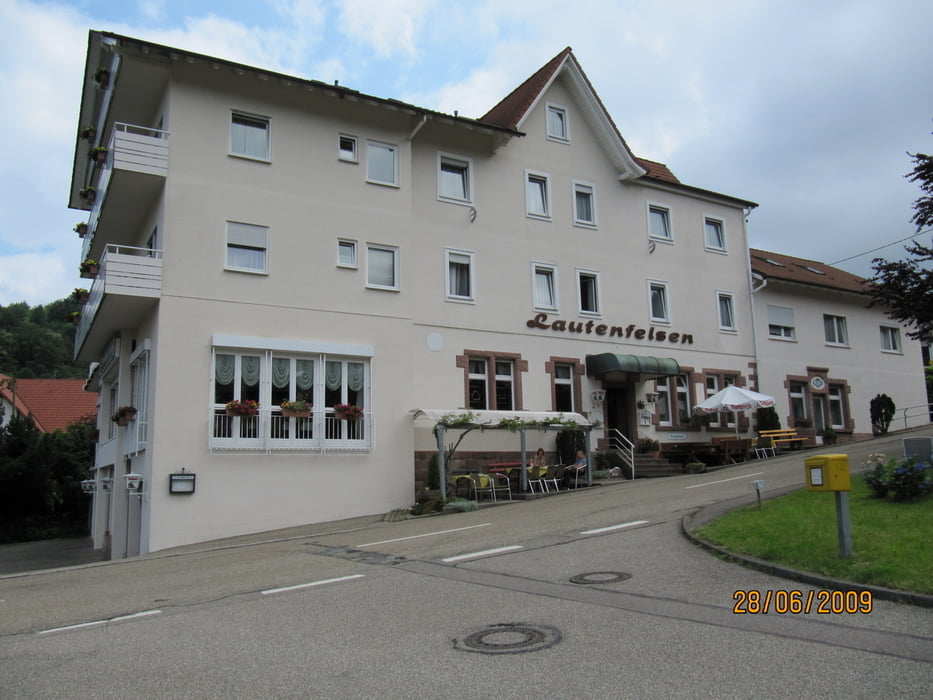
Unterkunft: Gasthof Lautenfelsen
Kaffestop am Morgen: Seeheiner
Mittagessen: Schützen
Kaffestop am Nachmittag: Yburg
GPS tracks
Trackpoints-
GPX / Garmin Map Source (gpx) download
-
TCX / Garmin Training Center® (tcx) download
-
CRS / Garmin Training Center® (crs) download
-
Google Earth (kml) download
-
G7ToWin (g7t) download
-
TTQV (trk) download
-
Overlay (ovl) download
-
Fugawi (txt) download
-
Kompass (DAV) Track (tk) download
-
Track data sheet (pdf) download
-
Original file of the author (gpx) download
More about the tour author
|
|
Genoveva |
Add to my favorites
Remove from my favorites
Edit tags
Open track
My score
Rate