Login

Forgotten password?

Cookies have to be accepted!
Your browser's cookie functionality is disabled. Please enable this functionality.

Not a member yet?

Register now
Login

Available for registred users only

Log in to use this feature.

Forgotten password?

Cookies have to be accepted!
Your browser's cookie functionality is disabled. Please enable this functionality.

Not a member yet?

Register now
Filter
Categories
Advanced filters
  • Distance (km)
  • Height
Save filters Reset filter

TrackRank

QRCode

Technical data

Distance49,5 km Height381 m Way down377 m Duration04:00 h:m Date30.06.2009
Scores Author Landscape Fun factor Fitness Technique

Statistics

474 Views Scores 63 Downloads Average
Rate
  • Track data sheet
  • Directions
  • Downloads
Schöne Tour über ruhige Strassen und Fahrradwege. Ein wenig Kondition ist hilfreich. Aber wo es hoch geht, gehts auch wieder runter. Viel Spass
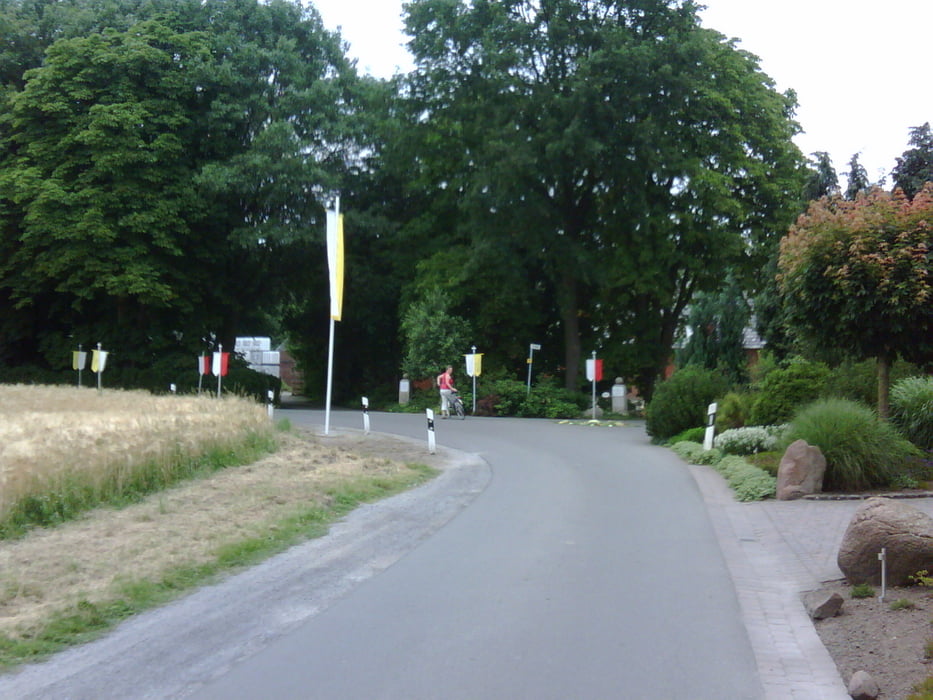
Tour gallery

Tour map and elevation profile

  • Open Street Map
  • Google
Minimum height 60 m Maximum height 153 m Detailed view

More about the tour author

Kalimero
Member since 2008

Send private message

Comments

GPS tracks

Trackpoints
  • GPX / Garmin Map Source (gpx) download
  • TCX / Garmin Training Center® (tcx) download
  • CRS / Garmin Training Center® (crs) download
  • Google Earth (kml) download
  • G7ToWin (g7t) download
  • TTQV (trk) download
  • Overlay (ovl) download
  • Fugawi (txt) download
  • Kompass (DAV) Track (tk) download
  • Track data sheet (pdf) download
  • Original file of the author (gpx) download

More about the tour author

Kalimero
Member since 2008

Send private message
Share track
Add to my favorites
Remove from my favorites
Edit tags
My score
Rate
Track: Billerbeck-Lette-Coesfeld-Billerbeck
Type: Bicycle tours
Distance: 49,5 km
Evaluated on:
Duration:
Day(s)
Hour(s)
Minute(s)
Score: Landscape Fun factor Fitness Technique