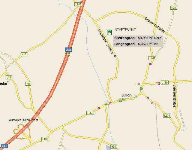
Die folgende Rennradtour wird als RTF im Frühjahr rund um Jülich ausgefahren. Die Tour selber ist nicht sehr anspruchsvoll, hat aber gewisse Reize, da auch einige Steigungen eingebaut sind. Bei Wind kann diese Tour auch ganz schön anstrengend werden.
Tour gallery
Tour map and elevation profile
Minimum height 60 m
Maximum height 116 m
Comments

Über die A44 bis Ausfahrt Jülich West, dann der Karte folgen. Der Startpunkt ist der Grossparkplatz auf dem Schulzentrum in Linnich.
GPS tracks
Trackpoints-
GPX / Garmin Map Source (gpx) download
-
TCX / Garmin Training Center® (tcx) download
-
CRS / Garmin Training Center® (crs) download
-
Google Earth (kml) download
-
G7ToWin (g7t) download
-
TTQV (trk) download
-
Overlay (ovl) download
-
Fugawi (txt) download
-
Kompass (DAV) Track (tk) download
-
Track data sheet (pdf) download
-
Original file of the author (g7t) download
Add to my favorites
Remove from my favorites
Edit tags
Open track
My score
Rate


