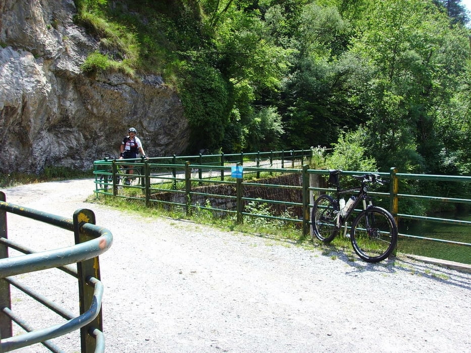
Von Limone über Vesio durch das Val di San Michele zum Tremalzo.
Anschließend Abfahrt in Richtung Passo Nota kurz vorher dann der Abzweig in Richtung Corna Vecchia und dann wieder über Vesio nach Limone.
Die Auffahrt durch das Val di San Michele ist technisch sehr anspruchsvoll !
Einkehrmöglichkeiten gibt es in Vesio, im Rifugio Garda und am Passo Nota (ca. 300m vom Hauptweg entfernt und leicht zu finden).
Viel Spaß !
Further information at
http://de.wikipedia.org/wiki/TremalzopassTour gallery
Tour map and elevation profile
Minimum height 79 m
Maximum height 1825 m
Comments

Wir haben die Tour in Limone am Steg der Fähre gestartet.
GPS tracks
Trackpoints-
GPX / Garmin Map Source (gpx) download
-
TCX / Garmin Training Center® (tcx) download
-
CRS / Garmin Training Center® (crs) download
-
Google Earth (kml) download
-
G7ToWin (g7t) download
-
TTQV (trk) download
-
Overlay (ovl) download
-
Fugawi (txt) download
-
Kompass (DAV) Track (tk) download
-
Track data sheet (pdf) download
-
Original file of the author (gpx) download
Add to my favorites
Remove from my favorites
Edit tags
Open track
My score
Rate


