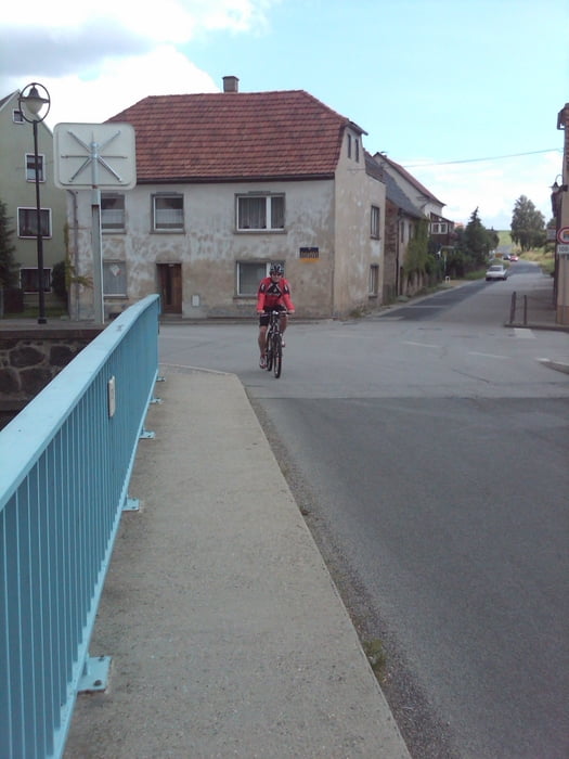
Zittau - Mittelherwigsdorf - Wittgendorf - Burkesdorf - Dittersbach - Bernstadt auf dem Eigen - Großhennersdorf - Hainewalde - Mittelherwigsdorf - Zittau
Viele unbefahrene Straßen, teilweise gegen Ende, insbesondere Mittelherwigsdorf in Richtung Zittau nochmals etwas mehr Verkehr (kurzes Stück) - ansonsten führt die Strecke durch leicht hügeliges Gelände.
Ab Hainewalde kann man den Rückweg auch entlang des "Umgebindehausradrundwegs" bestreiten.
Further information at
http://www.zittauer-gebirge.de/de/fahrrad.htmlTour gallery
Tour map and elevation profile
Minimum height -403 m
Maximum height -260 m
Comments
Zittau über Dresden erreichbar :-)
GPS tracks
Trackpoints-
GPX / Garmin Map Source (gpx) download
-
TCX / Garmin Training Center® (tcx) download
-
CRS / Garmin Training Center® (crs) download
-
Google Earth (kml) download
-
G7ToWin (g7t) download
-
TTQV (trk) download
-
Overlay (ovl) download
-
Fugawi (txt) download
-
Kompass (DAV) Track (tk) download
-
Track data sheet (pdf) download
-
Original file of the author (gpx) download
Add to my favorites
Remove from my favorites
Edit tags
Open track
My score
Rate


Top Runde
Top Runde