Login

Forgotten password?

Cookies have to be accepted!
Your browser's cookie functionality is disabled. Please enable this functionality.

Not a member yet?

Register now
Login

Available for registred users only

Log in to use this feature.

Forgotten password?

Cookies have to be accepted!
Your browser's cookie functionality is disabled. Please enable this functionality.

Not a member yet?

Register now
Filter
Categories
Advanced filters
  • Distance (km)
  • Height
Save filters Reset filter

TrackRank

QRCode

Technical data

Distance43,5 km Height212 m Way down203 m Duration04:00 h:m Date11.07.2009
Scores Author User Landscape Fun factor Fitness Technique

Statistics

11737 Views 2 Scores 461 Downloads 5.00 Average
Rate
  • Track data sheet
  • Directions
  • Downloads
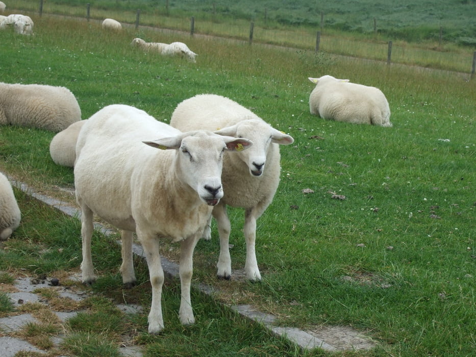
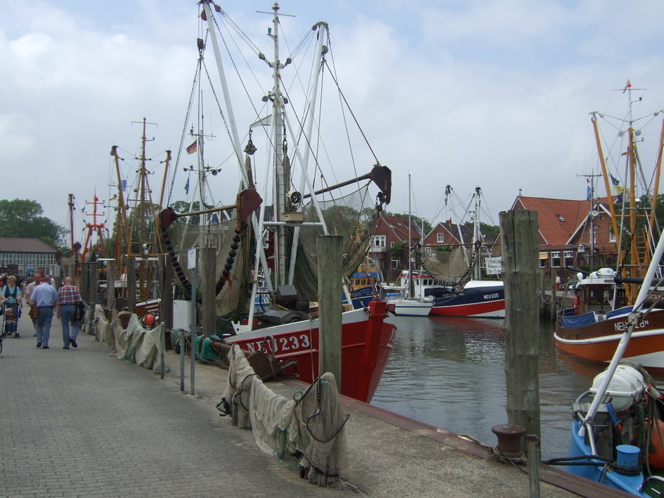
Sehr schöner Rundkurs, zum Teil direkt am Meer oder am Deich entlang.

Tour gallery

Tour map and elevation profile

  • Open Street Map
  • Google
Minimum height -35 m Maximum height 92 m Detailed view

More about the tour author

Kalimero
Member since 2008

Send private message

Comments

asbach63 on 09.07.2015

empfehlenswerte schöne Runde!

Eine sehr schöne Runde. Danke für die Veröffentlichung! Kann man weiterempfehlen!

GPS tracks

Trackpoints
  • GPX / Garmin Map Source (gpx) download
  • TCX / Garmin Training Center® (tcx) download
  • CRS / Garmin Training Center® (crs) download
  • Google Earth (kml) download
  • G7ToWin (g7t) download
  • TTQV (trk) download
  • Overlay (ovl) download
  • Fugawi (txt) download
  • Kompass (DAV) Track (tk) download
  • Track data sheet (pdf) download
  • Original file of the author (gpx) download

More about the tour author

Kalimero
Member since 2008

Send private message
Share track
Add to my favorites
Remove from my favorites
Edit tags
My score
Rate
Track: Carolinensiel Neuharlingersiel Bensersiel
Type: Bicycle tours
Distance: 43,5 km
Evaluated on:
Duration:
Day(s)
Hour(s)
Minute(s)
Score: Landscape Fun factor Fitness Technique