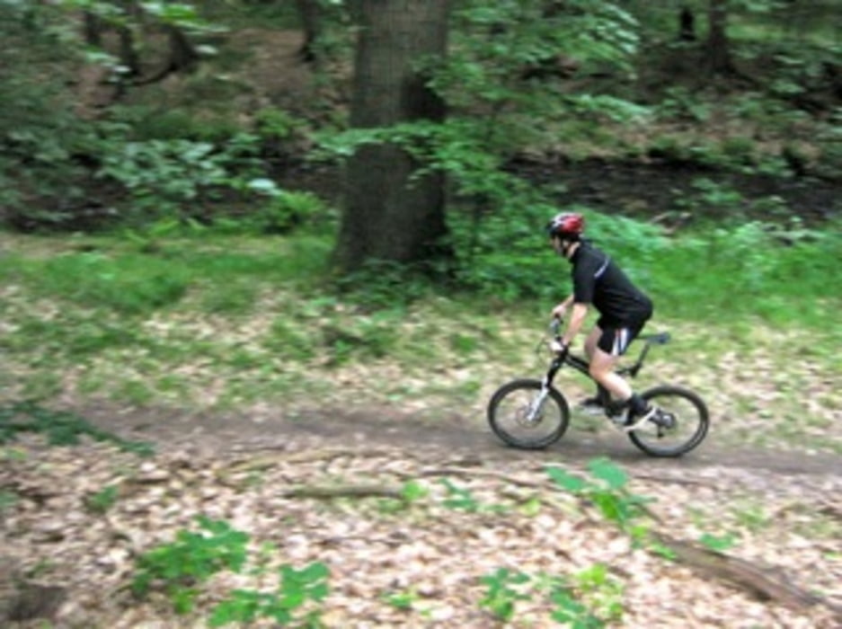
Die Runde begeistert vor allem durch zwei flowige Downhills mit leichtem Bikeparkfeeling, einen technisch durchaus anspruchsvollen Trail und landschaftlich herrliche Eindrücke entlang der Prießnitz. Ausgangspunkt ist das Forsthaus in Bühlau (in der Nähe der Endhaltestelle der Straßenbahnlinie 11), man kann aber z. B. auch am Fischhaus oder in der Neustadt starten. Wichtig ist nur, dass man die Tour richtig herum fährt.
Tour gallery
Tour map and elevation profile
Minimum height 671 m
Maximum height 811 m
Comments
GPS tracks
Trackpoints-
GPX / Garmin Map Source (gpx) download
-
TCX / Garmin Training Center® (tcx) download
-
CRS / Garmin Training Center® (crs) download
-
Google Earth (kml) download
-
G7ToWin (g7t) download
-
TTQV (trk) download
-
Overlay (ovl) download
-
Fugawi (txt) download
-
Kompass (DAV) Track (tk) download
-
Track data sheet (pdf) download
-
Original file of the author (gpx) download
Add to my favorites
Remove from my favorites
Edit tags
Open track
My score
Rate


Noch mehr Single-Trails in der Dresdner Heide
Geile Runde
PS: Auf nem Hardtail muss man ein wenig langsamer fahren *durchrüttel* :D
Super