


N 98 direction Frejus
Agay rechts ( a droit )
dann den Schildern " Massif d´Esterel" folgen
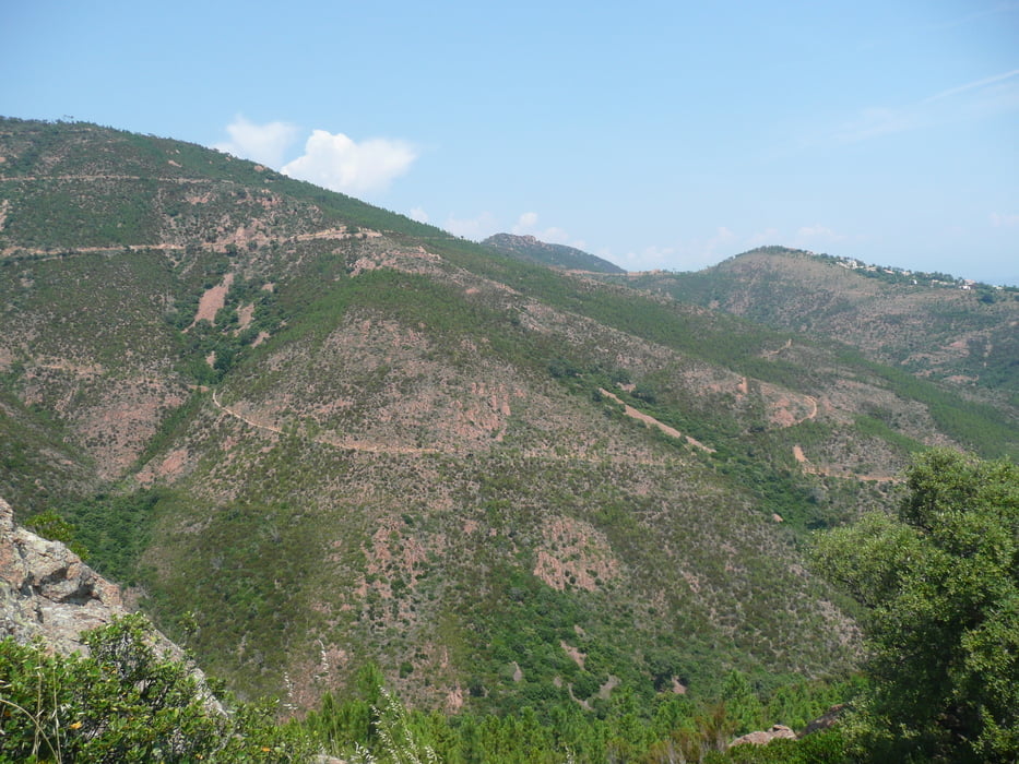
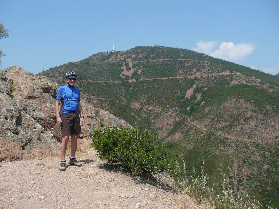
Pic d´l´Ours
Trois Termes, Maison Forestiere , davor (avant a droit) nach rechts
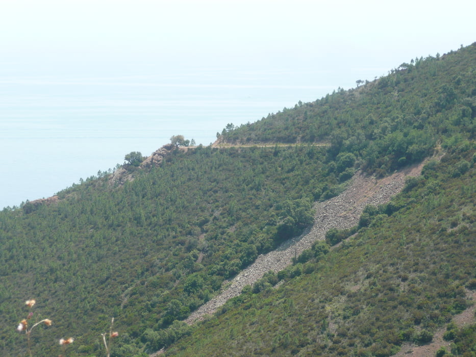
Saint Jean durch Vallon des trois Termes, dort entstand auch das Foto
zürück über N 7 nach Mandelieu
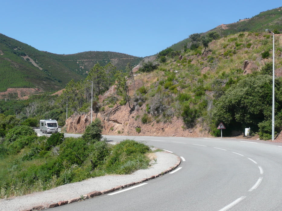
Die Strassen im Esterel sind geteert und häufig nur ausreichend ausgebessert.
Fürs MTB zu gut, fürs Rennrad nicht so gut
Tour gallery
Tour map and elevation profile
Minimum height 1 m
Maximum height 317 m
More about the tour author
|
|
arteus |
Comments

A 8 Sortie
Mandelieu - La Napoule
Start / Depart : Mandelieu Centre
GPS tracks
Trackpoints-
GPX / Garmin Map Source (gpx) download
-
TCX / Garmin Training Center® (tcx) download
-
CRS / Garmin Training Center® (crs) download
-
Google Earth (kml) download
-
G7ToWin (g7t) download
-
TTQV (trk) download
-
Overlay (ovl) download
-
Fugawi (txt) download
-
Kompass (DAV) Track (tk) download
-
Track data sheet (pdf) download
-
Original file of the author (gpx) download
More about the tour author
|
|
arteus |
Add to my favorites
Remove from my favorites
Edit tags
Open track
My score
Rate