


Von Hofkirchen auf kürzester Strecke nach Sierning und auf der B 140 durchs Steyrtal.
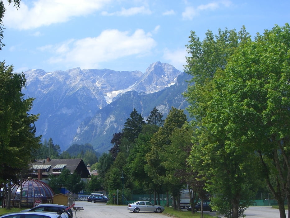
Nun entlang der Pyhrnpassbundesstraße bis zur Abzweigung nach Hinterstoder und nochmals ca. 10 km bis zur Abzweigung der Bergstraße auf die Höss.
Höss Bergstraße 10 km, 825 Hm
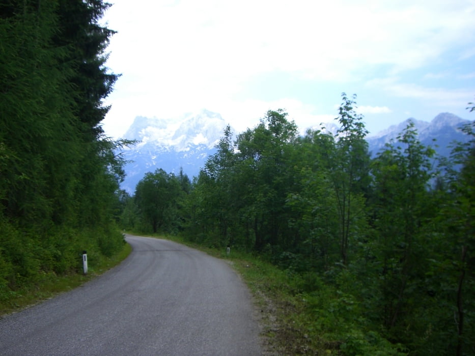
Die Rückfahrt erfolgt bis zum Stausee Klaus auf der selben Strecke, danach weiter über Ramsau nach Molln und rechts der Steyr bis kurz vor Grünburg.
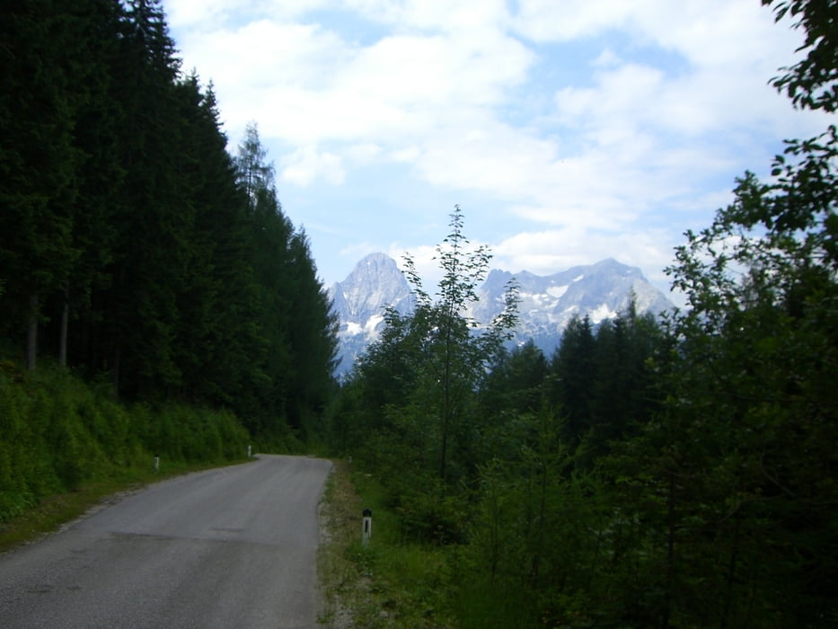
Wenige Kilometer nach Grünburg entlang dem Steyrtalradweg nach Aschach a.d.Steyr und über Sierninghofen mit einem kleinen Umweg nach Wolfern und zurück nach Hofkirchen.
Further information at
http://www.quaeldich.de/paesse/hutterer-boeden/Tour gallery
Tour map and elevation profile
Minimum height 296 m
Maximum height 1436 m
More about the tour author

|
bruale |
Comments

GPS tracks
Trackpoints-
GPX / Garmin Map Source (gpx) download
-
TCX / Garmin Training Center® (tcx) download
-
CRS / Garmin Training Center® (crs) download
-
Google Earth (kml) download
-
G7ToWin (g7t) download
-
TTQV (trk) download
-
Overlay (ovl) download
-
Fugawi (txt) download
-
Kompass (DAV) Track (tk) download
-
Track data sheet (pdf) download
-
Original file of the author (gpx) download
More about the tour author
|
|
bruale |
Add to my favorites
Remove from my favorites
Edit tags
Open track
My score
Rate