Login

Forgotten password?

Cookies have to be accepted!
Your browser's cookie functionality is disabled. Please enable this functionality.

Not a member yet?

Register now
Login

Available for registred users only

Log in to use this feature.

Forgotten password?

Cookies have to be accepted!
Your browser's cookie functionality is disabled. Please enable this functionality.

Not a member yet?

Register now
Filter
Categories
Advanced filters
  • Distance (km)
  • Height
Save filters Reset filter

TrackRank

QRCode

Technical data

Distance434,8 km Height14233 m Way down14851 m Duration1 day 20 h Date15.07.2009
Scores Author Landscape Fun factor Fitness Technique

Statistics

1742 Views Scores 270 Downloads Average
Rate
  • Track data sheet
  • Directions
  • Downloads

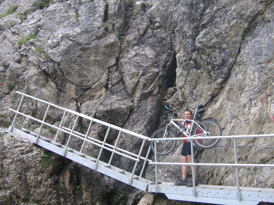
Transalp auf der Joe Route von Oberstdorf nach Riva im Juli 2009.

Wir haben Furkelhütte und Montozzo Scharte ausgelassen.

Die einzelnen Etappen sind im GPX File ersichtlich. Beschreibung kommt noch


Tour gallery

Tour map and elevation profile

  • Open Street Map
  • Google
Minimum height 62 m Maximum height 2776 m Detailed view

More about the tour author

hf009
Member since 2009

Send private message

Comments

gubucksun on 16.07.2009

Sigma Data

Hallo. Schöne Photos. Wir fahren auch Joe Route am 02.08.09 ab. Habt ihr vielleicht Sigma Data von Fahrradcomputer? Ich möchte gerne die Steigung usw. noch exat wissen aber habe ich bis jetzt kein Data. Vielen Dank.

Hallo,
ich habe von 5 oder 6 Tagen die Daten von einem HAC4. Die exakte Steigung ist, glaube ich nicht so wichtig. Entscheidend sind eher die Wetterverhältnisse. z.B. kann man am Fimberpass recht gut abfahren wenn es trocken ist. Wir hatten leider starken Regen und der Singletrail war eigentlich ein kleiner - unfahrbarer - Bach.
gubucksun on 17.07.2009

HAC4

obwohl man kein Gerät hat, kann man auch programm installieren und data lesen? wenn das möglich ist, währe es sehr nett falls ich die daten bekommen kann.
ich shreib einfach mal meine e-mail. gubucksun@hotmail.com Danke von tibs. Ich erwarte zur zeit echt viel von Joe Route.:-)
Anfahrt mit dem Zug nach Oberstdorf.

GPS tracks

Trackpoints
  • GPX / Garmin Map Source (gpx) download
  • TCX / Garmin Training Center® (tcx) download
  • CRS / Garmin Training Center® (crs) download
  • Google Earth (kml) download
  • G7ToWin (g7t) download
  • TTQV (trk) download
  • Overlay (ovl) download
  • Fugawi (txt) download
  • Kompass (DAV) Track (tk) download
  • Track data sheet (pdf) download
  • Original file of the author (gpx) download

More about the tour author

hf009
Member since 2009

Send private message
Share track
Add to my favorites
Remove from my favorites
Edit tags
My score
Rate
Track: TransalpSH_2009
Type: Transalp
Distance: 434,8 km
Evaluated on:
Duration:
Day(s)
Hour(s)
Minute(s)
Score: Landscape Fun factor Fitness Technique