


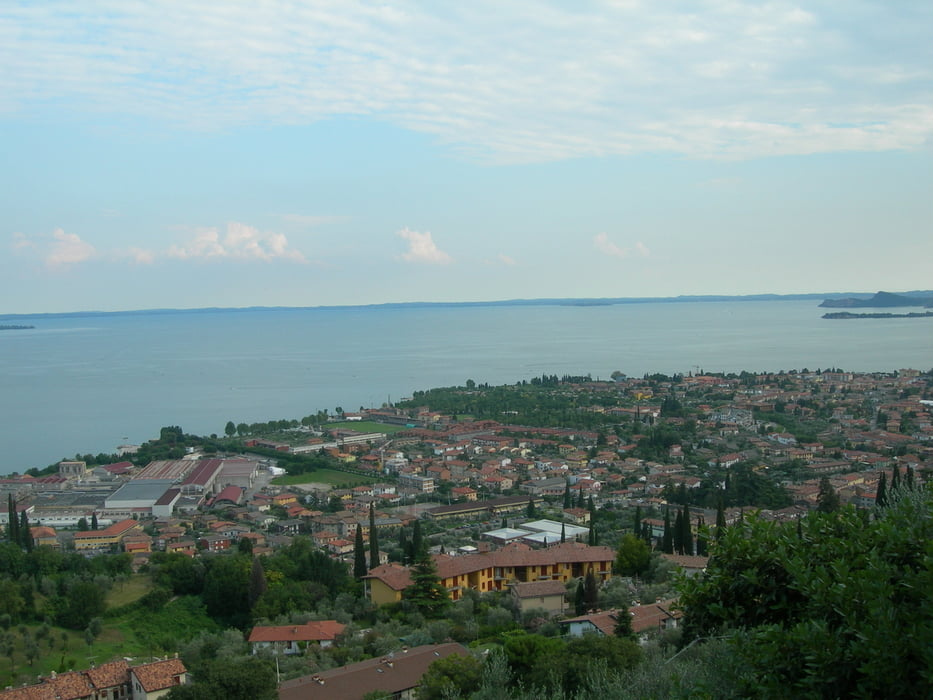
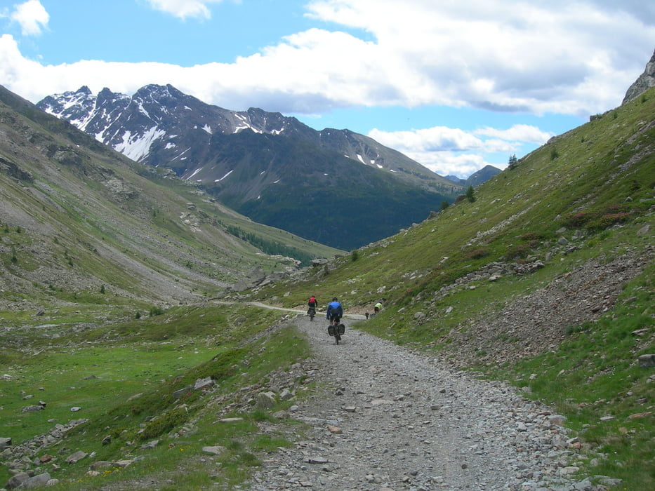
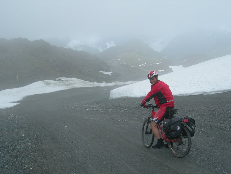
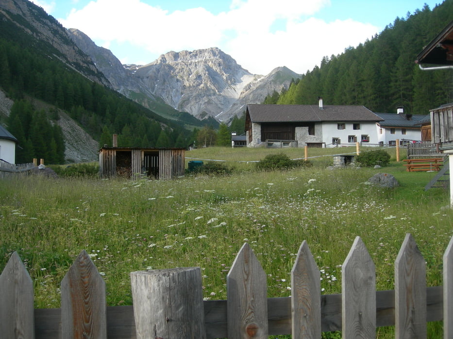
Seguramente la ruta transalpina más conocida para todos los bikers de centro europa. Disfrutaras de unos paisajes de ensueño pasando por cuatro paises (Alemania, Austria, Suiza e Italia), rodarás a una altitud media de 1600m, llegando a los 2700m, por pistas forestales, carreteras secundarias, senderos, carriles bici y prácticamente nada por carreteras con tráfico. Sólo tendrás que empujar la bici en 2km de los casi 600 de viaje. Ah! y ascenderás el mítico Mortirolo. Animate !!!!
Aviso: Si vas con Iberia cuidado cobran 75 euros por bici y trayecto.
Si quieres más información solicitamela en: antequerae@yahoo.es (grafica de desniveles con alojamientos...)
Further information at
http://www.misrutas.net/RutasDe.aspx?id=3247&tipo=13Tour gallery
Tour map and elevation profile
Minimum height 70 m
Maximum height 2751 m
More about the tour author
|
|
Kikemontanbike |
Comments
Toda la narración de la ruta completa en:
http://antequerae.spaces.live.com/?_c11_BlogPart_BlogPart=summary&_c=BlogPart
GPS tracks
Trackpoints-
GPX / Garmin Map Source (gpx) download
-
TCX / Garmin Training Center® (tcx) download
-
CRS / Garmin Training Center® (crs) download
-
Google Earth (kml) download
-
G7ToWin (g7t) download
-
TTQV (trk) download
-
Overlay (ovl) download
-
Fugawi (txt) download
-
Kompass (DAV) Track (tk) download
-
Track data sheet (pdf) download
-
Original file of the author (gpx) download
More about the tour author
|
|
Kikemontanbike |
Add to my favorites
Remove from my favorites
Edit tags
Open track
My score
Rate
Transalp 2009
we met us during our Transalp on the way down to Ehrwald. Do you remember? Hope you finished your Transalp and everthing was alright?!.
We will publish some Video on youtube next time. Also the one down to Ehrwald. so you will be on the internet soon!
Regards
Chris!