Login

Forgotten password?

Cookies have to be accepted!
Your browser's cookie functionality is disabled. Please enable this functionality.

Not a member yet?

Register now
Login

Available for registred users only

Log in to use this feature.

Forgotten password?

Cookies have to be accepted!
Your browser's cookie functionality is disabled. Please enable this functionality.

Not a member yet?

Register now
Filter
Categories
Advanced filters
  • Distance (km)
  • Height
Save filters Reset filter

TrackRank

QRCode

Technical data

Distance53,5 km Height441 m Way down436 m Duration00:00 h:m Date28.07.2009
Scores Author Landscape Fun factor Fitness Technique

Statistics

1922 Views 1 Score 155 Downloads 5.00 Average
Rate
  • Track data sheet
  • Directions
  • Downloads

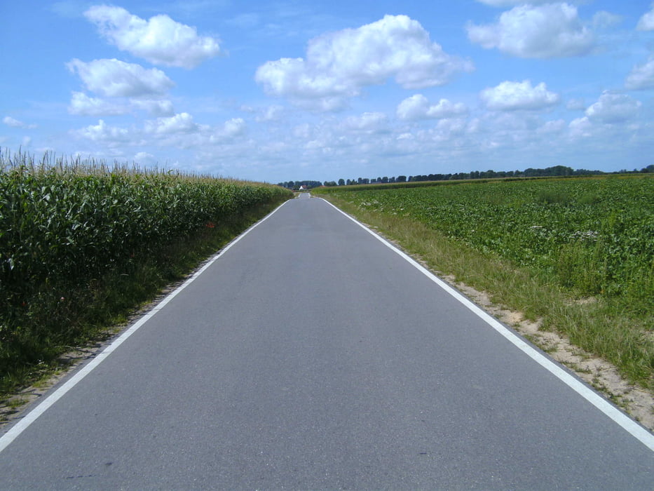
wunderschöne Radeltour entlang der Knotenpunkte im Kreis Heinsberg. 70,71,72,73,74,29,21,23,24,25,26,75,76,77,78,67,68,71 und wieder 70.

Gemütlich den ganzen Tag mit vielen Pausen bei den zahlreichen Rast-und Einkehrmöglichkeiten. Bis auf wenige Ausnahmen nur asphaltierte Wege. Ein Lob an den Heinsberger Tourist-Service, falls dies nicht schon viele andere gemacht haben. Das Knotenpunktesystem ist genial. Ich könnte mir diese Art

 für ganz Deutschland vorstellen, bequemer gehts nicht mehr.

Tour gallery

Tour map and elevation profile

  • Open Street Map
  • Google
Minimum height 3 m Maximum height 123 m Detailed view

More about the tour author

Graf_Geo
Member since 2008

Send private message

Comments

Schiller1963 on 06.08.2009

Tolle Tour!

Klasse! die wird bestimmt nachgefahren - eigent sich zwar nicht für einen Lottotipp - aber egal. Jetzt wäre es noch gut, wenn man die Punkte als Datei für das Etrex hätte. Vielleicht findet man sowas oder wir müssen usn selbst drangeben.

Gruß
Schiller Rad ab
Start war der Parkplatz an der Kirche in Wegberg-Beek.

GPS tracks

Trackpoints
  • GPX / Garmin Map Source (gpx) download
  • TCX / Garmin Training Center® (tcx) download
  • CRS / Garmin Training Center® (crs) download
  • Google Earth (kml) download
  • G7ToWin (g7t) download
  • TTQV (trk) download
  • Overlay (ovl) download
  • Fugawi (txt) download
  • Kompass (DAV) Track (tk) download
  • Track data sheet (pdf) download
  • Original file of the author (gpx) download

More about the tour author

Graf_Geo
Member since 2008

Send private message
Share track
Add to my favorites
Remove from my favorites
Edit tags
My score
Rate
Track: Wegberg, eine Knotentour
Type: Bicycle tours
Distance: 53,5 km
Evaluated on:
Duration:
Day(s)
Hour(s)
Minute(s)
Score: Landscape Fun factor Fitness Technique