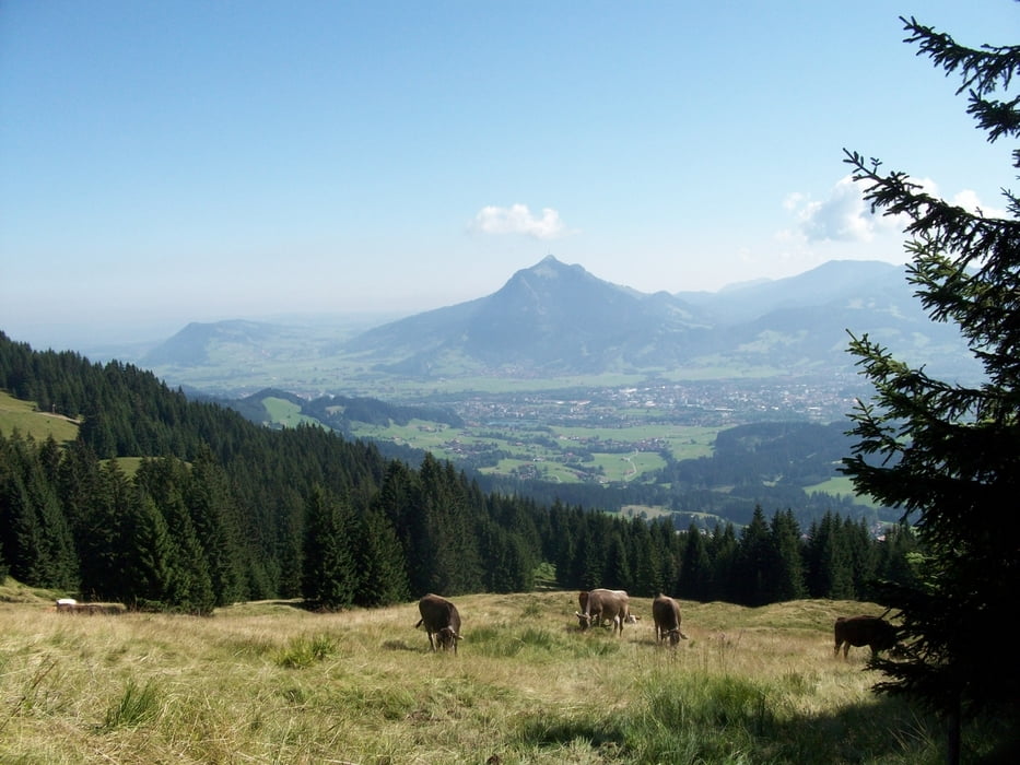
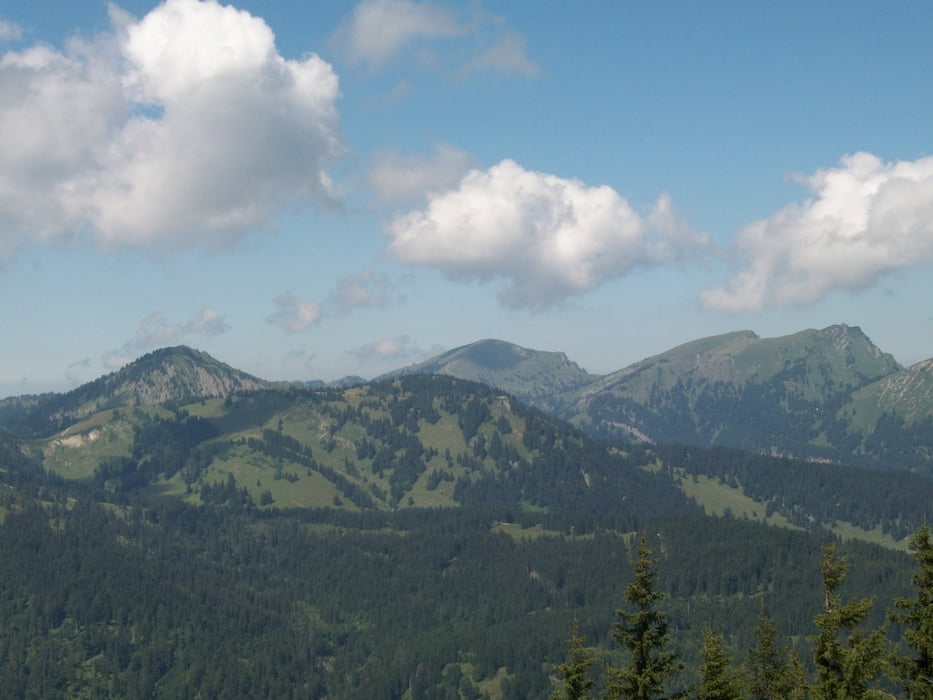
Leichte Wandertour auf Rangiswanger Horn und Weiherkopf.
Eckdaten der Wandertour:
- Auffahrt mit der Welcup-Express Sesselbahn von Ofterschwang (864m) zur Bergstation (1325m)
- Wanderung um um das Ofterschwanger- und Sigiswanger Horn herum.
- Zunächst Aufstieg und dann wieder Abstieg vom Rangiswanger Horn (1616m).
- Aufstieg zum höchsten Punkt der Tour, dem Weiherkopf (1665m).
- Abstieg nach Bolsterlang (892m) zunächst auf Schotter und dann auf immer steiler werdender Teerstraße.
- Rückkehr nach Ofterschwang mit öffentlichen Vehrkehrmitteln (Busverkehr zw. Hörnerbahn und Welcup-Express).
Tour gallery
Tour map and elevation profile
Minimum height 928 m
Maximum height 1656 m
Comments

GPS tracks
Trackpoints-
GPX / Garmin Map Source (gpx) download
-
TCX / Garmin Training Center® (tcx) download
-
CRS / Garmin Training Center® (crs) download
-
Google Earth (kml) download
-
G7ToWin (g7t) download
-
TTQV (trk) download
-
Overlay (ovl) download
-
Fugawi (txt) download
-
Kompass (DAV) Track (tk) download
-
Track data sheet (pdf) download
-
Original file of the author (gpx) download
Add to my favorites
Remove from my favorites
Edit tags
Open track
My score
Rate


