Login

Forgotten password?

Cookies have to be accepted!
Your browser's cookie functionality is disabled. Please enable this functionality.

Not a member yet?

Register now
Login

Available for registred users only

Log in to use this feature.

Forgotten password?

Cookies have to be accepted!
Your browser's cookie functionality is disabled. Please enable this functionality.

Not a member yet?

Register now
Filter
Categories
Advanced filters
  • Distance (km)
  • Height
Save filters Reset filter

TrackRank

QRCode

Technical data

Distance24,7 km Height1507 m Way down1489 m Duration04:00 h:m Date01.08.2009
Scores Author Landscape Fun factor Fitness Technique

Statistics

1424 Views Scores 101 Downloads Average
Rate
  • Track data sheet
  • Directions
  • Downloads
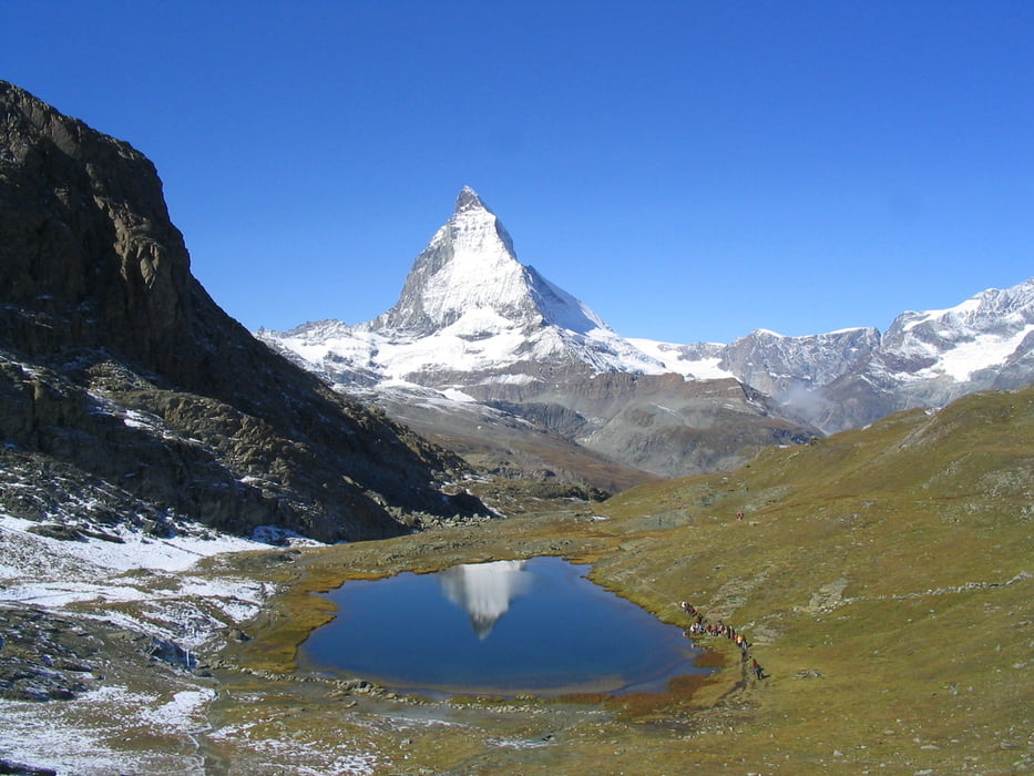
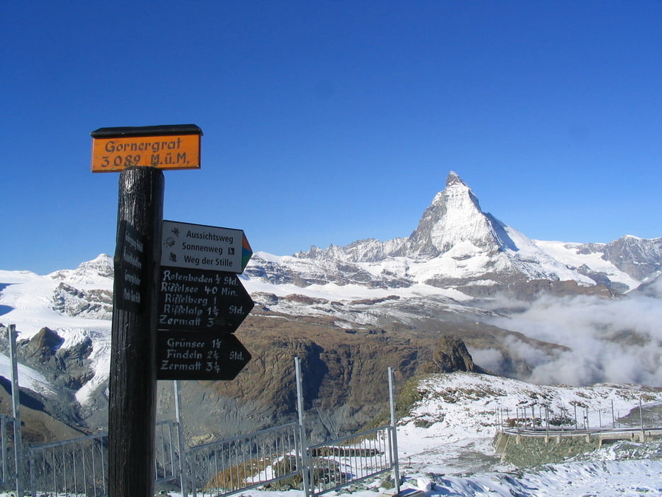
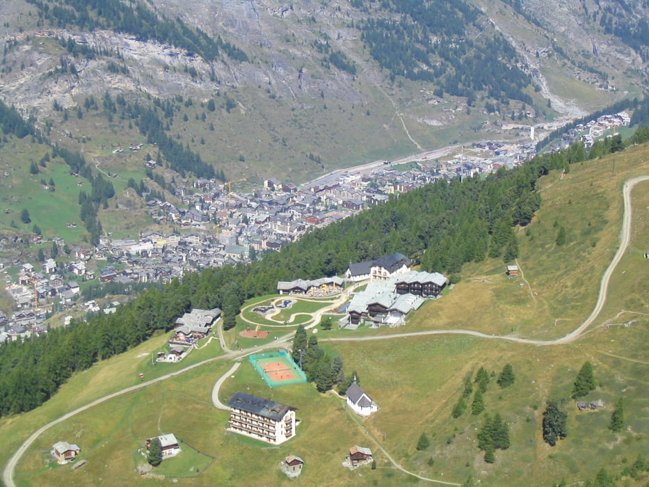
Fahrt mit der Gornergratbahn zur Bergstation mit anschließender Rückwanderung zum Teil entlang der Bahntrasse. Sehr Abwechslungsreich, Schnee am Anfang, und T-Shirt Wetter weiter unten. Spektakuläre Ausblicke auf Gletscher, Gemsen, Murmeltiere, Zermatt und natürlich das Matterhorn. Wanderzeit: September.

Further information at

http://www.zermatt.com

Tour gallery

Tour map and elevation profile

  • Open Street Map
  • Google
Minimum height 1604 m Maximum height 3096 m Detailed view

More about the tour author

nowhereman
Member since 2009

Send private message

Comments

Diverse Routen bis Täsch. Dann weiter mit der Bahn bis Zermatt.

GPS tracks

Trackpoints
  • GPX / Garmin Map Source (gpx) download
  • TCX / Garmin Training Center® (tcx) download
  • CRS / Garmin Training Center® (crs) download
  • Google Earth (kml) download
  • G7ToWin (g7t) download
  • TTQV (trk) download
  • Overlay (ovl) download
  • Fugawi (txt) download
  • Kompass (DAV) Track (tk) download
  • Track data sheet (pdf) download
  • Original file of the author (gpx) download

More about the tour author

nowhereman
Member since 2009

Send private message
Share track
Add to my favorites
Remove from my favorites
Edit tags
My score
Rate
Track: Zermatt - Entlang der Gornergratbahn
Type: Hiking
Distance: 24,7 km
Evaluated on:
Duration:
Day(s)
Hour(s)
Minute(s)
Score: Landscape Fun factor Fitness Technique