Login

Forgotten password?

Cookies have to be accepted!
Your browser's cookie functionality is disabled. Please enable this functionality.

Not a member yet?

Register now
Login

Available for registred users only

Log in to use this feature.

Forgotten password?

Cookies have to be accepted!
Your browser's cookie functionality is disabled. Please enable this functionality.

Not a member yet?

Register now
Filter
Categories
Advanced filters
  • Distance (km)
  • Height
Save filters Reset filter

TrackRank

QRCode

Technical data

Distance22,5 km Height591 m Way down594 m Duration05:30 h:m Date02.08.2009
Scores Author Landscape Fun factor Fitness Technique

Statistics

718 Views Scores 135 Downloads Average
Rate
  • Track data sheet
  • Directions
  • Downloads
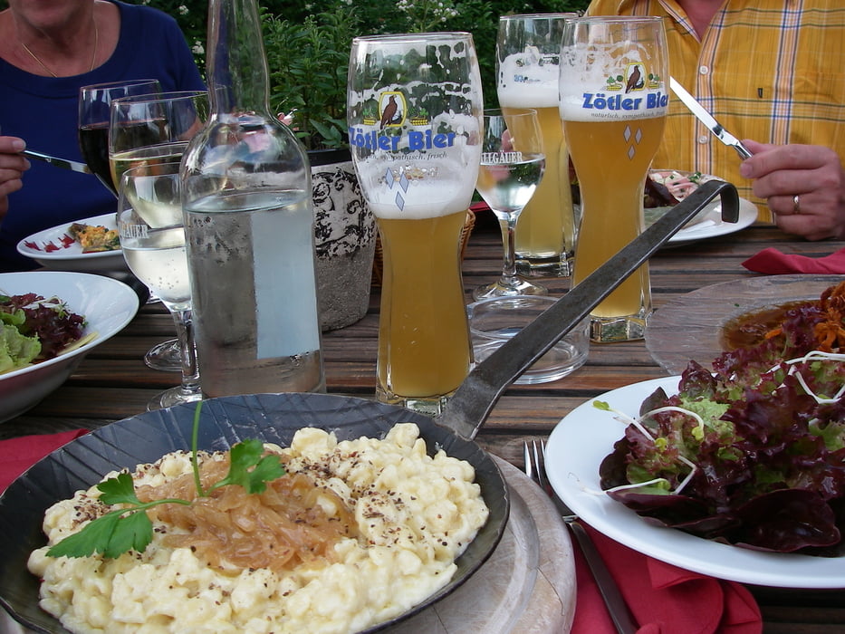
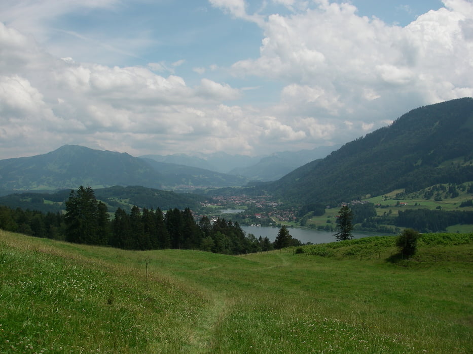
Wir sind am Schwandlift in Thalkirchdorf gestartet. Besser ist es, wenn man beim Dorfhaus startet. Weiter zur Salmaser- und Thalerhöhe. Zum Alpseeblick und zurück nach Thalkirchdorf. Das Essen im Dorfhaus ist genial. Vor allem die Kässpatzen.

Tour gallery

Tour map and elevation profile

  • Open Street Map
  • Google
Minimum height 739 m Maximum height 1248 m Detailed view

More about the tour author

Seili
Member since 2008

Send private message

Comments

GPS tracks

Trackpoints
  • GPX / Garmin Map Source (gpx) download
  • TCX / Garmin Training Center® (tcx) download
  • CRS / Garmin Training Center® (crs) download
  • Google Earth (kml) download
  • G7ToWin (g7t) download
  • TTQV (trk) download
  • Overlay (ovl) download
  • Fugawi (txt) download
  • Kompass (DAV) Track (tk) download
  • Track data sheet (pdf) download
  • Original file of the author (gpx) download

More about the tour author

Seili
Member since 2008

Send private message
Share track
Add to my favorites
Remove from my favorites
Edit tags
My score
Rate
Track: Beim Alpsee
Type: Hiking
Distance: 22,5 km
Evaluated on:
Duration:
Day(s)
Hour(s)
Minute(s)
Score: Landscape Fun factor Fitness Technique