


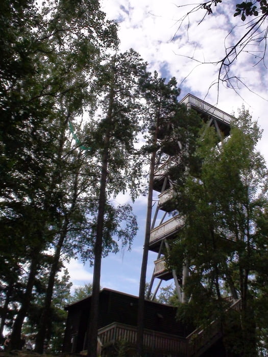
Der zweite Tag beginnt mit einem schweistreibenden Aufstieg zum Eck-Kopfturm (516 Meter). Die Belohnung ist grandios. Der Rundumblick über Pfälzer Wald und Rheinebene ist umwerfend. Tip: vorher erkundigen ob die Bewirtung geöffnet hat.
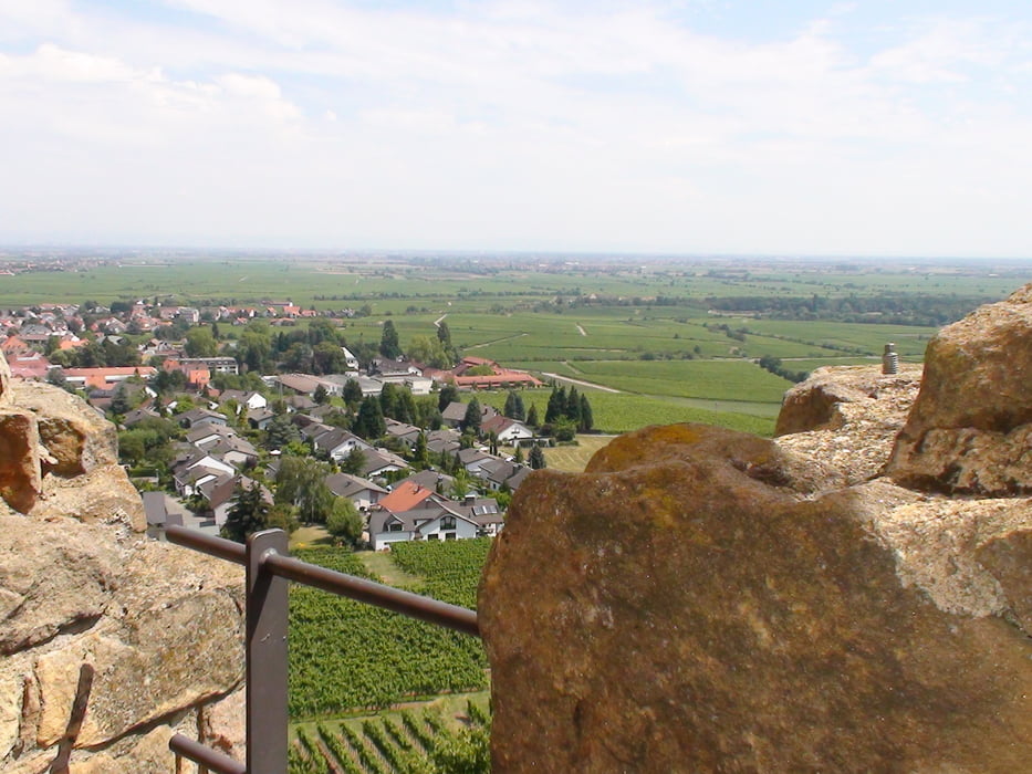
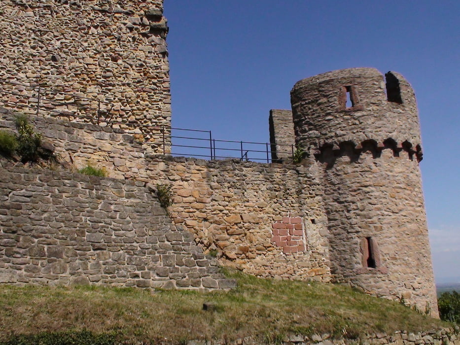
Weiter geht es in Richtung Wachtenburg : Der Turmaufstieg ist ein Muss. Der Blick ist sehr schön. Hier kann man sich bei regionalen Gerichten für den weiteren Weg stärken.
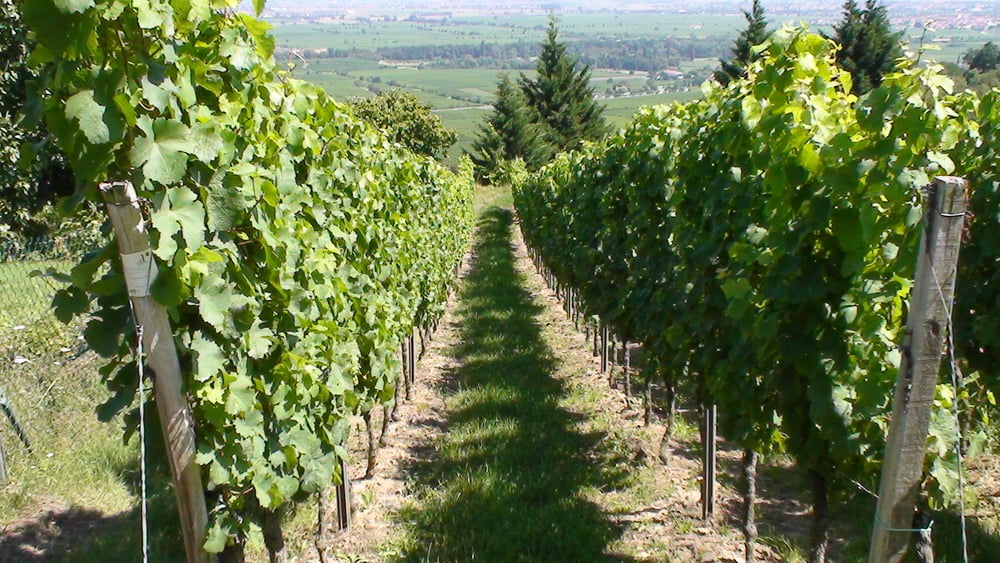
Nun geht es wieder zurück in Richtung Deidesheim. Weitere Interessante Abstecher sind die Heidenlöcher und die Michaelskapelle.
Further information at
http://www.wachtenburg.de/Tour gallery
Tour map and elevation profile
Minimum height 141 m
Maximum height 513 m
More about the tour author
|
|
pmhilzi |
Comments

Start und Ziel ist der Ort Deidesheim
GPS tracks
Trackpoints-
GPX / Garmin Map Source (gpx) download
-
TCX / Garmin Training Center® (tcx) download
-
CRS / Garmin Training Center® (crs) download
-
Google Earth (kml) download
-
G7ToWin (g7t) download
-
TTQV (trk) download
-
Overlay (ovl) download
-
Fugawi (txt) download
-
Kompass (DAV) Track (tk) download
-
Track data sheet (pdf) download
-
Original file of the author (gpx) download
More about the tour author
|
|
pmhilzi |
Add to my favorites
Remove from my favorites
Edit tags
Open track
My score
Rate