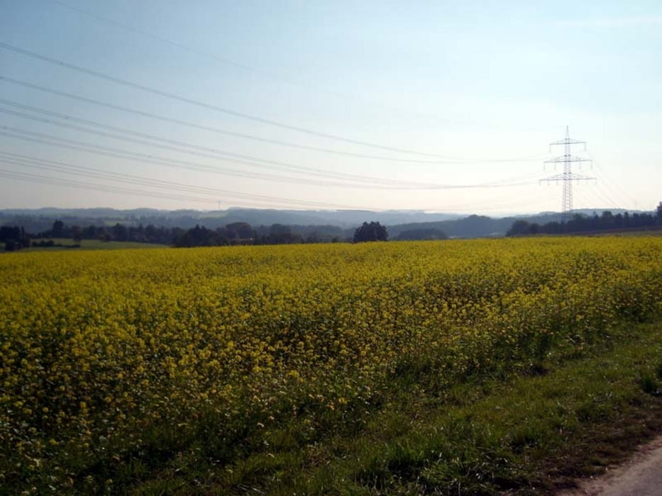
Noch eine Kurztour für den Feierabend. Los geht es in der Lenneper Altstadt, vorbei am Röntgen Museum (Besuch lohnt sich) Rtg. Wuppertal Beyenburg. Schon kurz hinter Lennep, hinter dem Tierheim wird rechts dann auf den Weg "Rund um Remscheid" abgebogen. Dann geht es über schmale Wege, keine Singletrails, teils asphaltiert, teils Waldwege Rtg, Hackenberg, Wuppertalsperre und über den Hasenberg zurück.
Runde im Uhrzeigersinn
Tour map and elevation profile
Minimum height 148 m
Maximum height 338 m
Comments

GPS tracks
Trackpoints-
GPX / Garmin Map Source (gpx) download
-
TCX / Garmin Training Center® (tcx) download
-
CRS / Garmin Training Center® (crs) download
-
Google Earth (kml) download
-
G7ToWin (g7t) download
-
TTQV (trk) download
-
Overlay (ovl) download
-
Fugawi (txt) download
-
Kompass (DAV) Track (tk) download
-
Track data sheet (pdf) download
-
Original file of the author (gpx) download
Add to my favorites
Remove from my favorites
Edit tags
Open track
My score
Rate

